
MEREM:2009.18
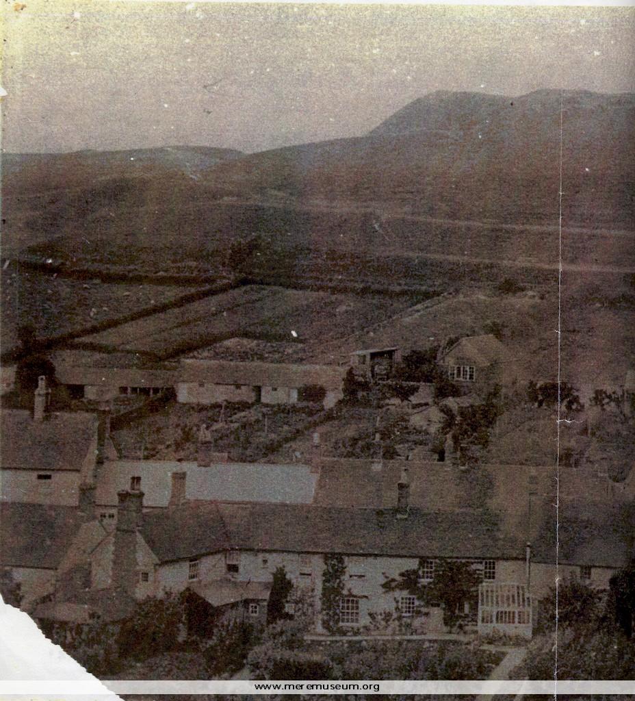
Brief description: large copy of a black and white photograph taken from Castle Hill showing the old barn, possibly a Tithe Barn, on Castle St. Mere, just before demolition, 1890 Classifications: environment / buildings / agriculture Identifications: photograph Place: Measurements: height 24.6 cm Additional images: Click the images to view larger image
MEREM:2009.19
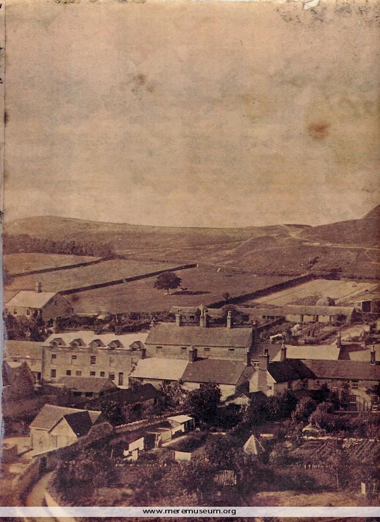
Brief description: large copy of a sepia photograph taken from Castle Hill showing the old barn, possibly a Tithe Barn, on Castle St. Mere, just after demolition, 1890 Classifications: environment / buildings / agriculture Identifications: photograph Place: Measurements: height 24.6 cm Additional images: Click the images to view larger image
MEREM:2009.7
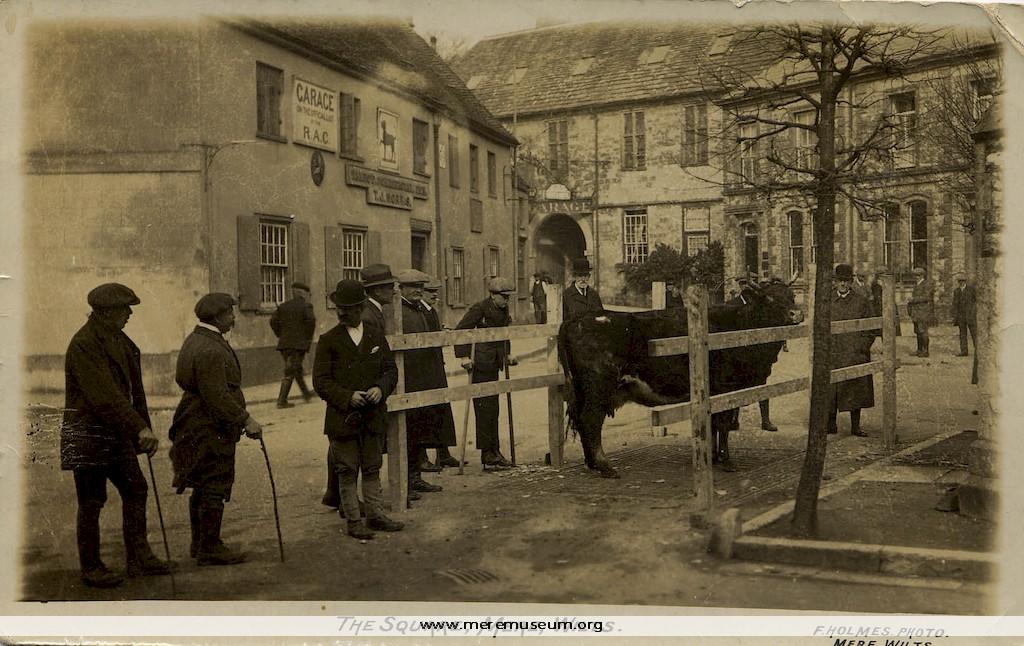
Brief description: black and white photograph (postcard) of the weighbridge in The Square, Mere, taken by Frederick Holmes of Mere, c.1917 Classifications: environment / buildings / agriculture / cattle Identifications: photograph / postcard / postcard Place: Mere Wiltshire Measurements: height 8.9 cm
MEREM:2009.8
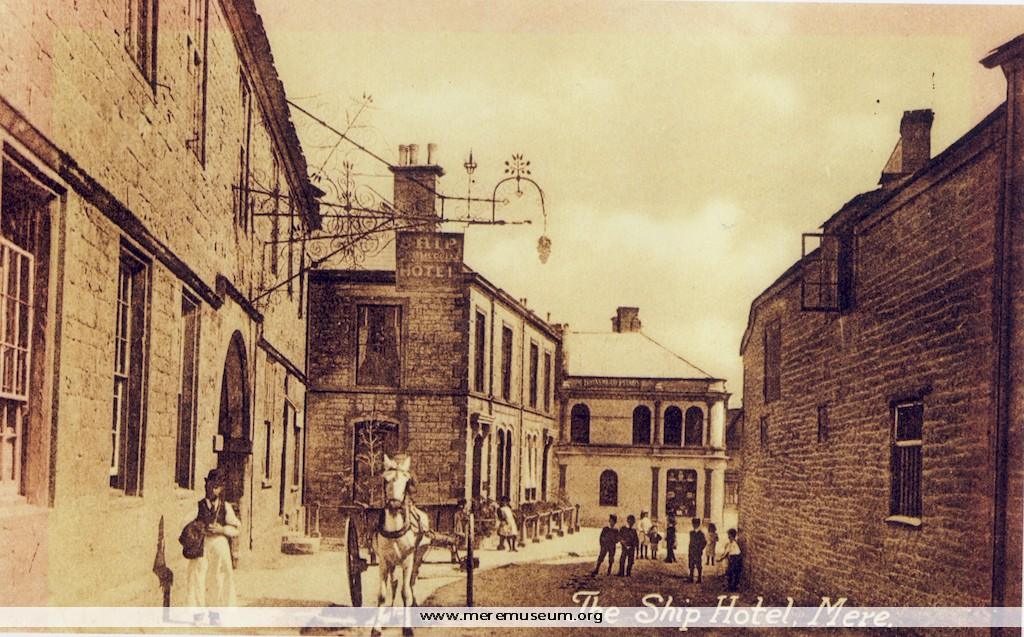
Brief description: copy of a sepia photograph of Castle St and The Ship Hotel, Mere, late19th century Classifications: environment / buildings Identifications: photograph / postcard Place: Measurements: height 13 cm
MEREM:2009.12
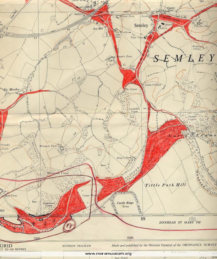
Brief description: two 6 inch Ordnance Survey maps: of Semley and of the Wardour Estate, marked in red crayon, with a typed list of rated properties on the Wardour Estate, datable between 1962 (map) and1972? (decimalisation). Classifications: environment / maps Identifications: Estate Maps / Place: Measurements: height 67 cm Material: paper, ink Completeness: probably complete […]
MEREM:2009.13
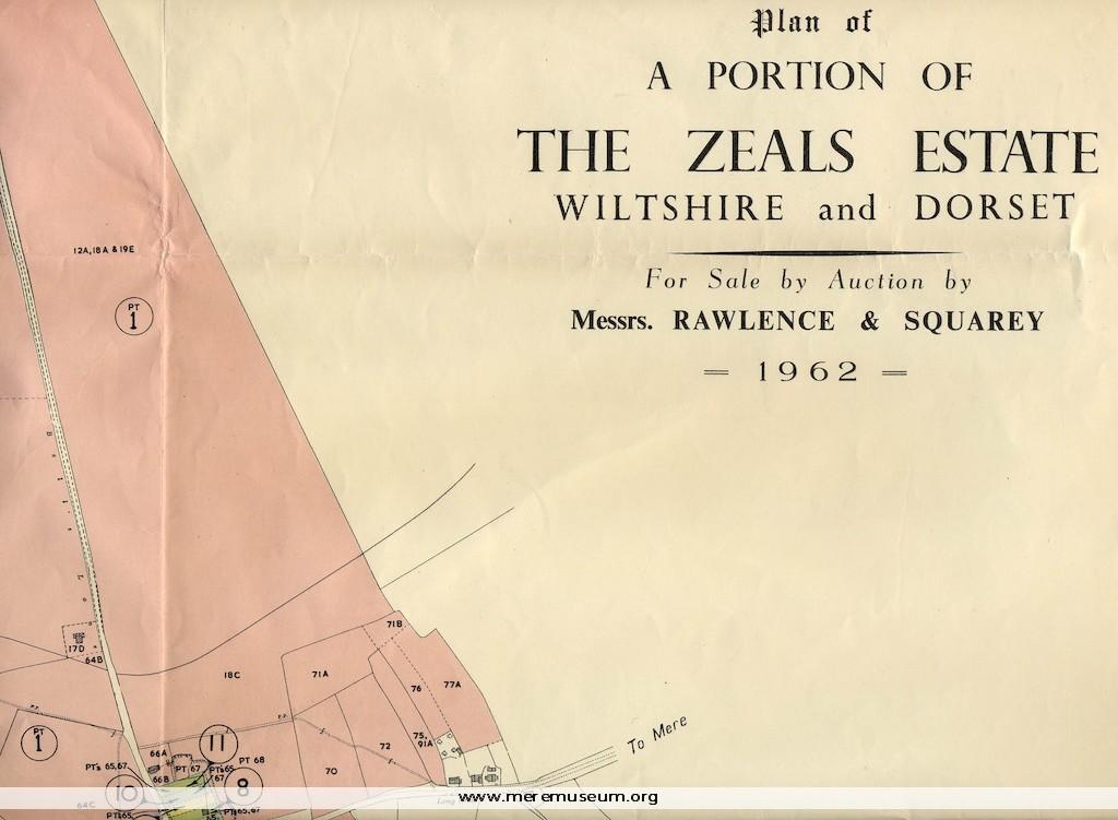
Brief description: a map of a portion of the Zeals Estate in Wiltshire and Dorset, reproduced with colour from the Ordnance Survey map, prepared for the sale and auction of this estate by Rawlence and Squarey,1962 Classifications: environment / maps / events Identifications: Estate Map / Place: Measurements: height 80 cm Material: paper, ink Completeness: […]
MEREM:2009.14
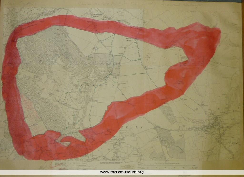
Brief description: section of an Ordnance Survey Map of 1923 showing the parish boundaries of Stourton, Wiltshire and proposed boundary changes – small area transferred to Somerset. Classifications: environment / maps Identifications: Ordnance Survey Map / Place: Measurements: height 57 cm Material: paper, ink Completeness: probably complete
MEREM:2009.15
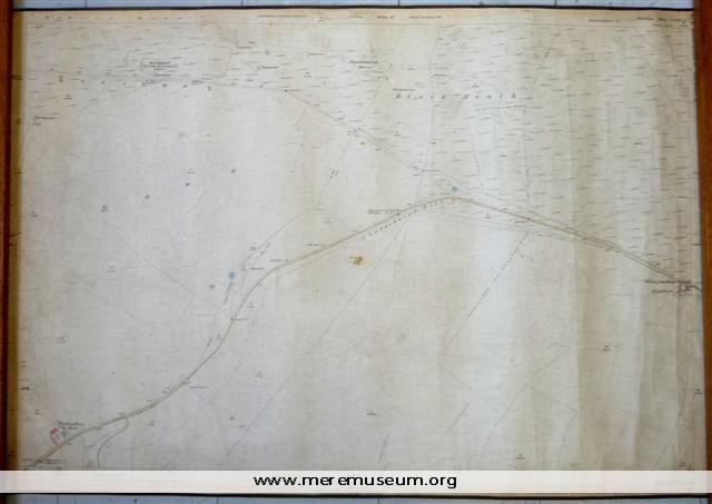
Brief description: a 25-inch Ordnance Survey Map of 1886-7, edged with brown tape, showing Pitching Piece Barn, Chaddenwick Hill and Willoughby Hedge Classifications: environment / maps Identifications: Ordnance Survey Map / Place: Measurements: height 70.3 cm Material: paper, ink, cotton tape, cotton Completeness: complete
MEREM:2009.16
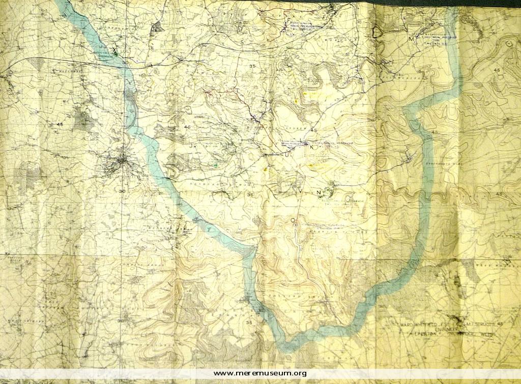
Brief description: part of a large Ordnance Survey Map (date unknown) showing Mere and Tisbury Rural District Council Comprehensive Water Supply Scheme, ?1946 Classifications: environment / maps / society / water Identifications: Ordnance Survey Map / Place: Measurements: height 119.6 cm Material: paper, ink, Completeness: complete Additional images: Click the images to view larger image
MEREM:2009.2.5
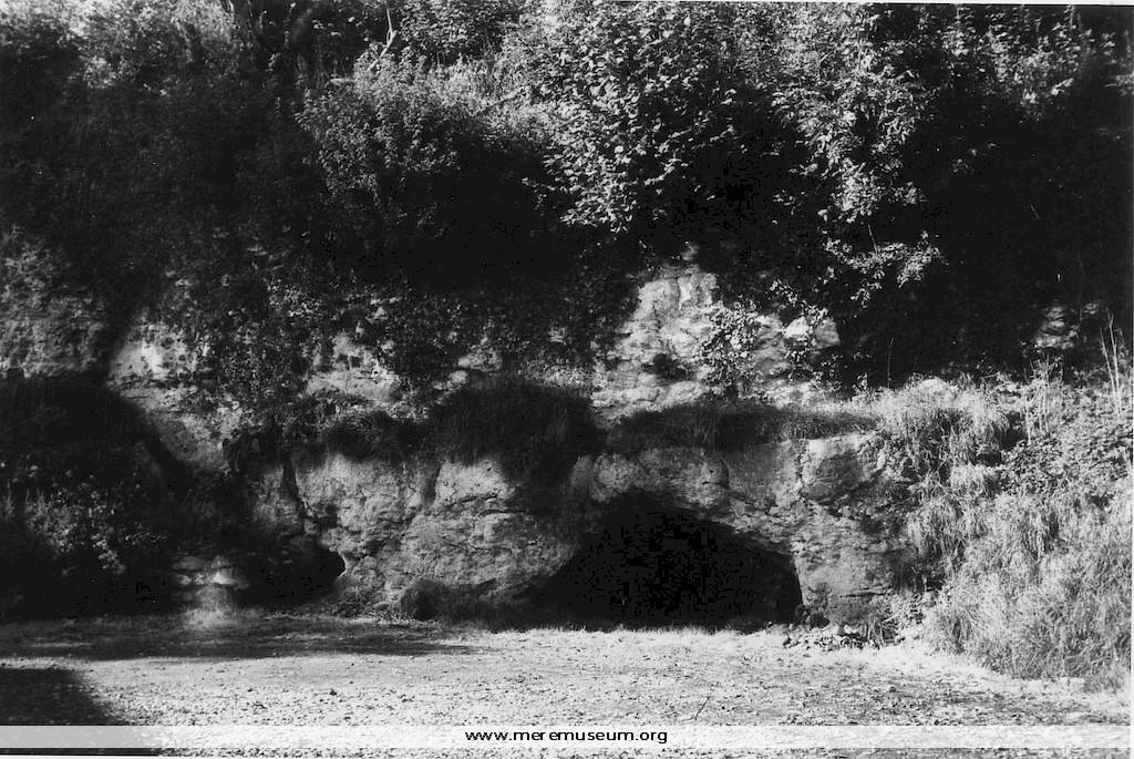
Brief description: black and white photograph of the old quarry at Wolverton, Zeals, c.1976 Classifications: environment / trade / quarryman Identifications: photograph Place: Measurements: height 8.8 cm