
Brief description:
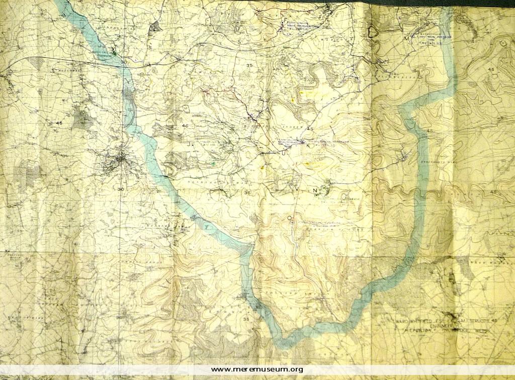
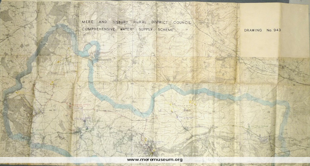
part of a large Ordnance Survey Map (date unknown) showing Mere and Tisbury Rural District Council Comprehensive Water Supply Scheme, ?1946
part of a large Ordnance Survey Map (date unknown) showing Mere and Tisbury Rural District Council Comprehensive Water Supply Scheme, ?1946
Classifications:
environment / maps / society / water
environment / maps / society / water
Identifications:
Ordnance Survey Map /
Ordnance Survey Map /
Place:
Measurements:
height 119.6 cm
height 119.6 cm
Material:
paper, ink,
paper, ink,
Completeness: complete
Additional images:
Click the images to view larger image
