
Brief description:
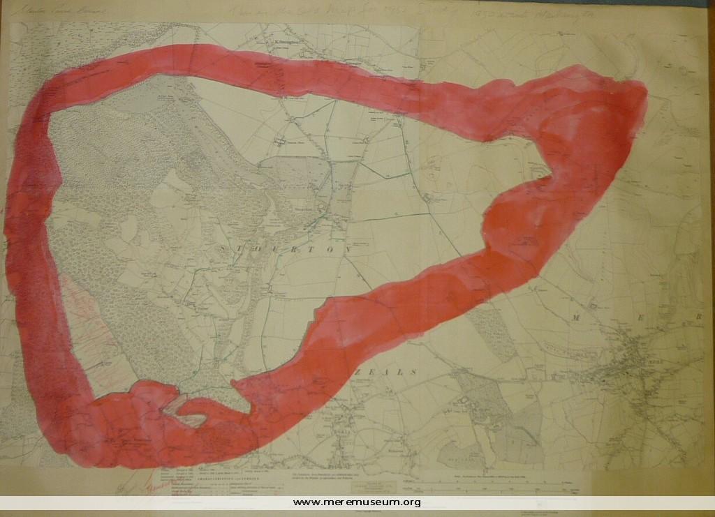
section of an Ordnance Survey Map of 1923 showing the parish boundaries of Stourton, Wiltshire and proposed boundary changes – small area transferred to Somerset.
section of an Ordnance Survey Map of 1923 showing the parish boundaries of Stourton, Wiltshire and proposed boundary changes – small area transferred to Somerset.
Classifications:
environment / maps
environment / maps
Identifications:
Ordnance Survey Map /
Ordnance Survey Map /
Place:
Measurements:
height 57 cm
height 57 cm
Material:
paper, ink
paper, ink
Completeness: probably complete
