
MEREM:2009.9.4
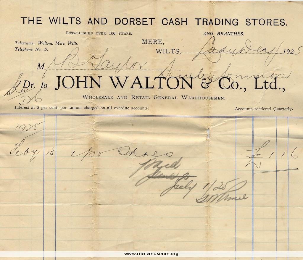
Brief description: receipted bill from John Walton and Co. Ltd issued to Mr Taylor of Semley Common, Wilts for a pair of shoes, dated Lady Day (February 13th) 1925 Classifications: trade / shopkeeper Identifications: billhead / Place: Measurements: height 17.5 cm Material: paper, ink Completeness: complete
MEREM:2009.10
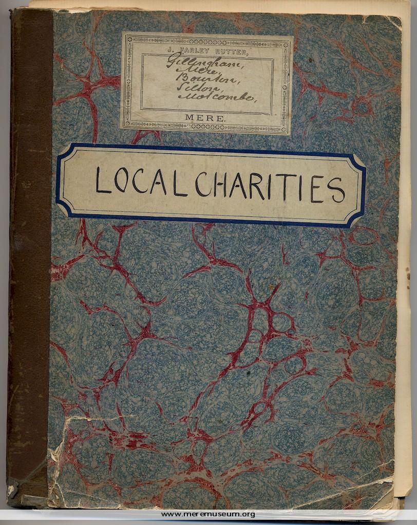
Brief description: a notebook (‘The Student’s Exercise Book’) with LOCAL CHARITIES and with J. Farley Rutter’s printed label pasted to the front cover, containing notes relating to the history of, donations to and distribution of monies from several Mere Charities, with several other related items including newspaper cuttings, and a sheet of blotting paper, 1890s […]
MEREM:2009.11
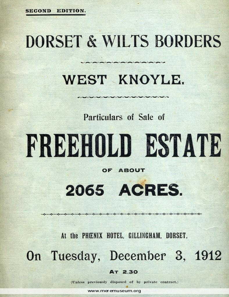
Brief description: large printed booklet with blue cover, containing the particulars of the sale at The Phoenix Hotel, Gillingham,Dorset, of 2065 acres of Freehold Estate with maps of the lots at West Knoyle and at Barrow Street Farm, Tuesday December 3rd 1912 Classifications: events / trade / auctioneer Identifications: Auction Sale particulars / Place: Measurements: […]
MEREM:2009.12
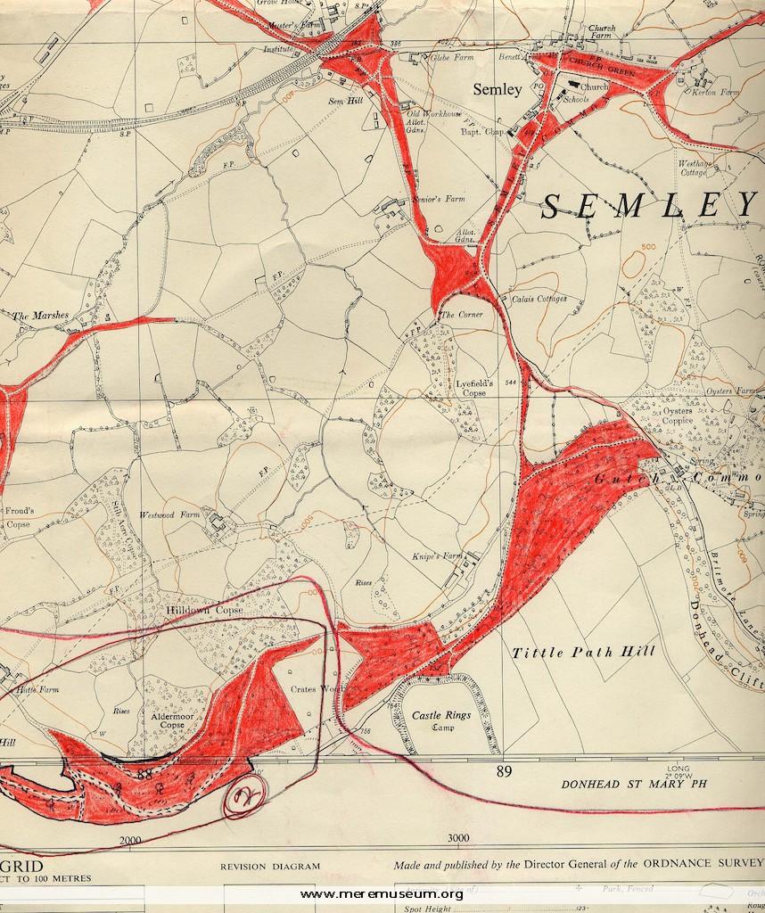
Brief description: two 6 inch Ordnance Survey maps: of Semley and of the Wardour Estate, marked in red crayon, with a typed list of rated properties on the Wardour Estate, datable between 1962 (map) and1972? (decimalisation). Classifications: environment / maps Identifications: Estate Maps / Place: Measurements: height 67 cm Material: paper, ink Completeness: probably complete […]
MEREM:2009.13
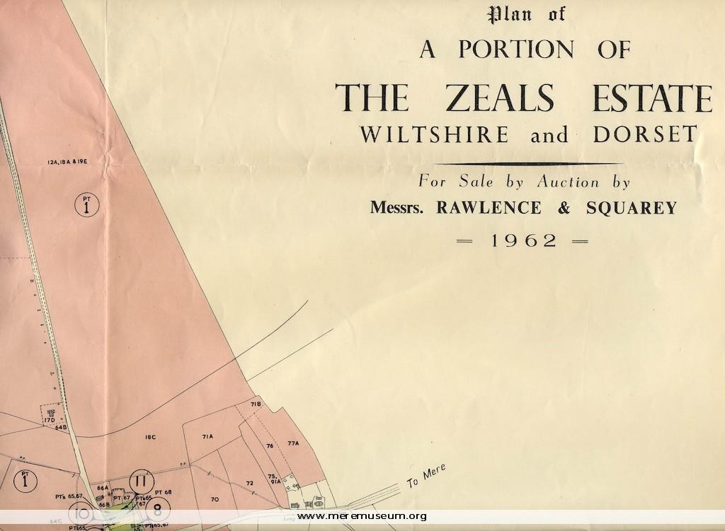
Brief description: a map of a portion of the Zeals Estate in Wiltshire and Dorset, reproduced with colour from the Ordnance Survey map, prepared for the sale and auction of this estate by Rawlence and Squarey,1962 Classifications: environment / maps / events Identifications: Estate Map / Place: Measurements: height 80 cm Material: paper, ink Completeness: […]
MEREM:2009.14
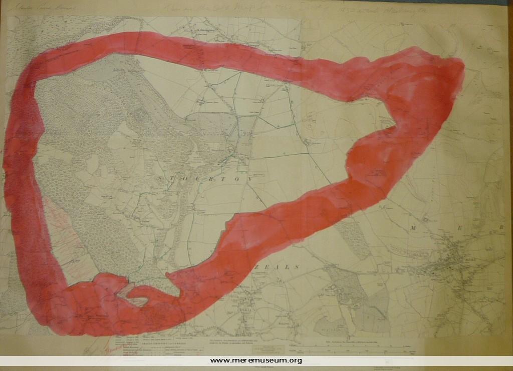
Brief description: section of an Ordnance Survey Map of 1923 showing the parish boundaries of Stourton, Wiltshire and proposed boundary changes – small area transferred to Somerset. Classifications: environment / maps Identifications: Ordnance Survey Map / Place: Measurements: height 57 cm Material: paper, ink Completeness: probably complete
MEREM:2009.15
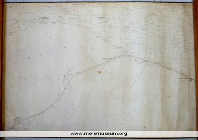
Brief description: a 25-inch Ordnance Survey Map of 1886-7, edged with brown tape, showing Pitching Piece Barn, Chaddenwick Hill and Willoughby Hedge Classifications: environment / maps Identifications: Ordnance Survey Map / Place: Measurements: height 70.3 cm Material: paper, ink, cotton tape, cotton Completeness: complete
MEREM:2008.112
Brief description: 8-page booklet in a grey paper cover, containing an appreiation of the life and work of Alice May Riddy byfamily and friends, 1901= 1961 with a black and white photograph of Mr and Mrs Riddy, c.1961 Classifications: person Identifications: booklet / Place: Measurements: height 20.2 cm Material: paper, ink, metal staple Completeness: complete
MEREM:2008.110
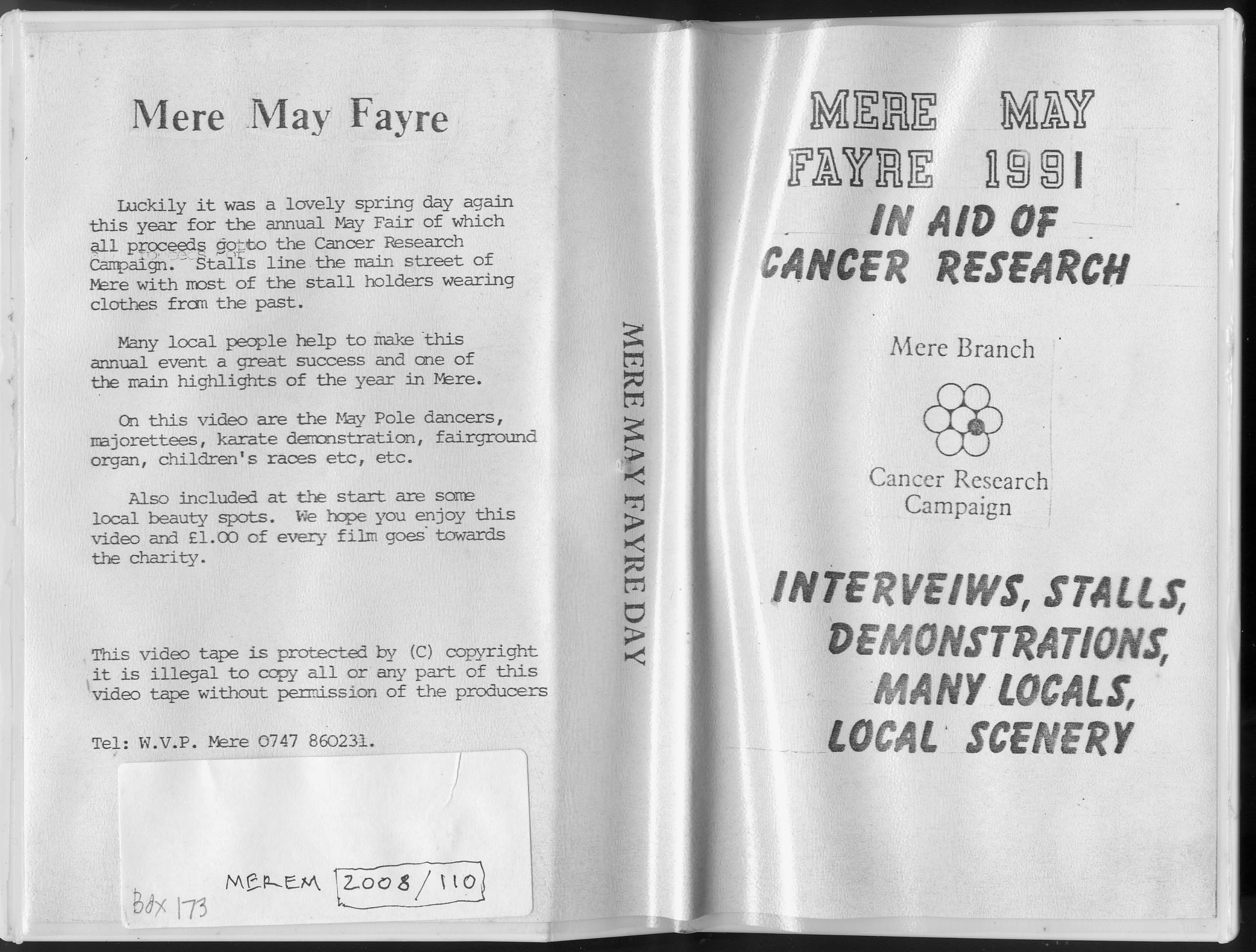
Brief description: video tape in white case of Mere’s May Fayre (in aid of cancer research), including interviews, stalls, demonstrations, local people and local scenery, 1991 Classifications: events / person Identifications: video tape in case / Place: Measurements: height 20.2 cm Material: vinyl, paper Completeness: complete
MEREM:2008.88.6.1
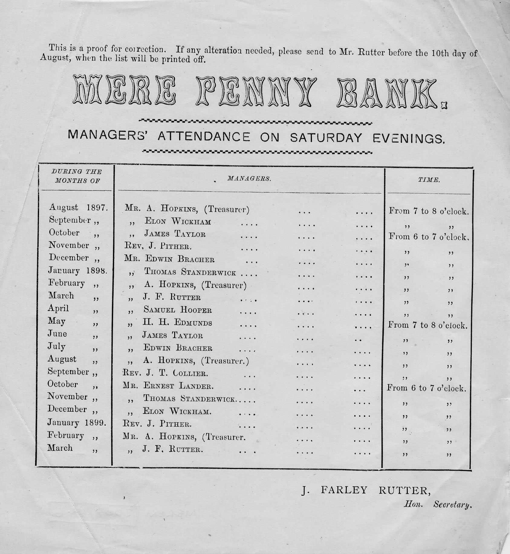
Brief description: small printed sheet, the proof of a notice listing the Managers’ attendance at Mere Penny Bank on Saturday evenings, 1897- 1899 Classifications: society / money / person Identifications: leaflet / Place: Measurements: height 19.6 cm Material: paper, ink Completeness: complete