
MEREM:2009.21.3
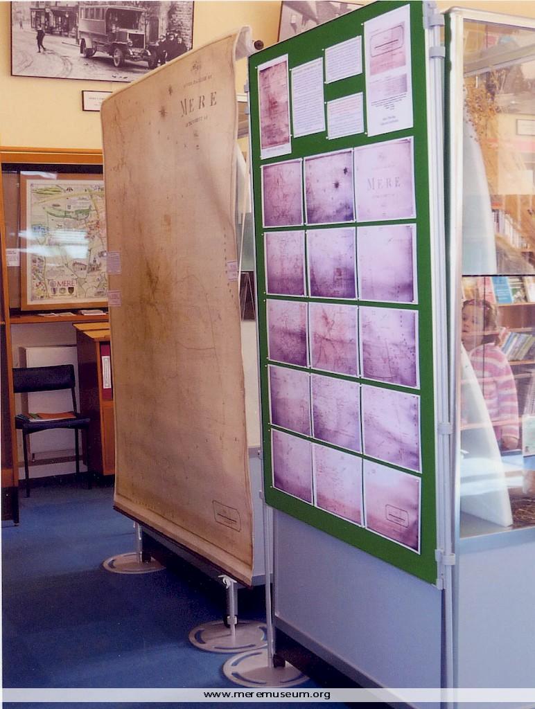
Brief description: coloured photograph of Mere’s 1848 tithe map and the photographic reproduction, part of the exhibition ‘Mapping the Parish’ held at Mere Museum, March – June, 2009 Classifications: society / museum Identifications: photograph Place: Measurements: height 10.3 cm
MEREM:2009.21.2
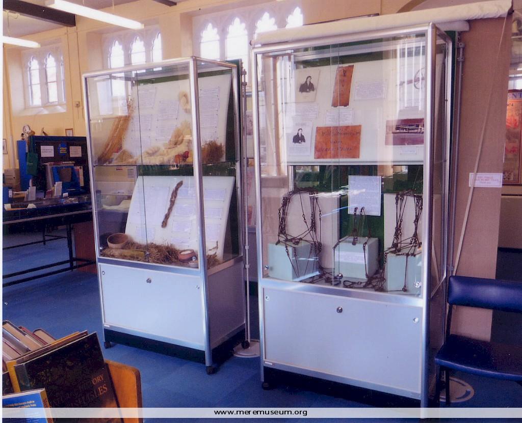
Brief description: coloured photograph of part of the exhibition ‘Mapping the Parish’ held at Mere Museum, March – June, 2009 Classifications: society / museum Identifications: photograph Place: Measurements: height 10.3 cm
MEREM:2009.21.1
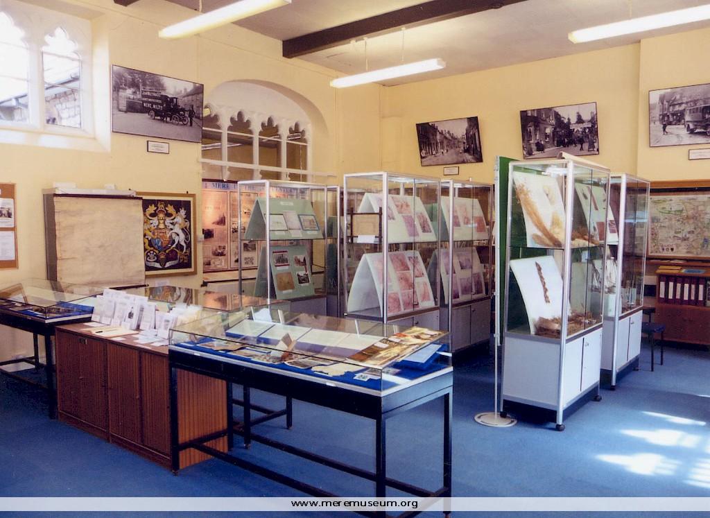
Brief description: coloured photograph of the exhibition ‘Mapping the Parish’ held at Mere Museum, March – June, 2009 Classifications: society / museum Identifications: photograph Place: Measurements: height 10.3 cm
MEREM:2009.20
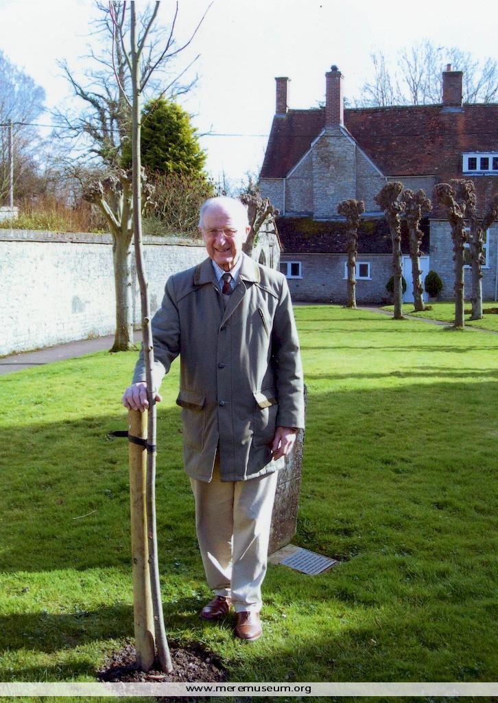
Brief description: colour photograph of Dr. David Longbourne standing in Mere churchyard with a lime tree newly planted in his name (The Longbourne Tree), 1st March 2009 Classifications: person / environment Identifications: photograph Measurements: height 18.6 cm
MEREM:1977.245.2
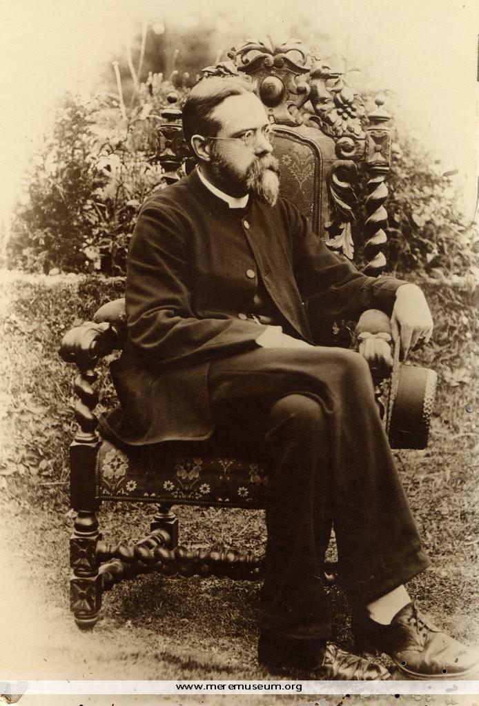
Brief description: photograph, Rev J A Lloyd, vicar, St Michael’s Church, Mere, Wiltshire, seated in an elaborate armchair in a garden, 1890-1909 Classifications: society / religion / person Identifications: photograph Place: Measurements: height 28.2 cm
MEREM:2009.19
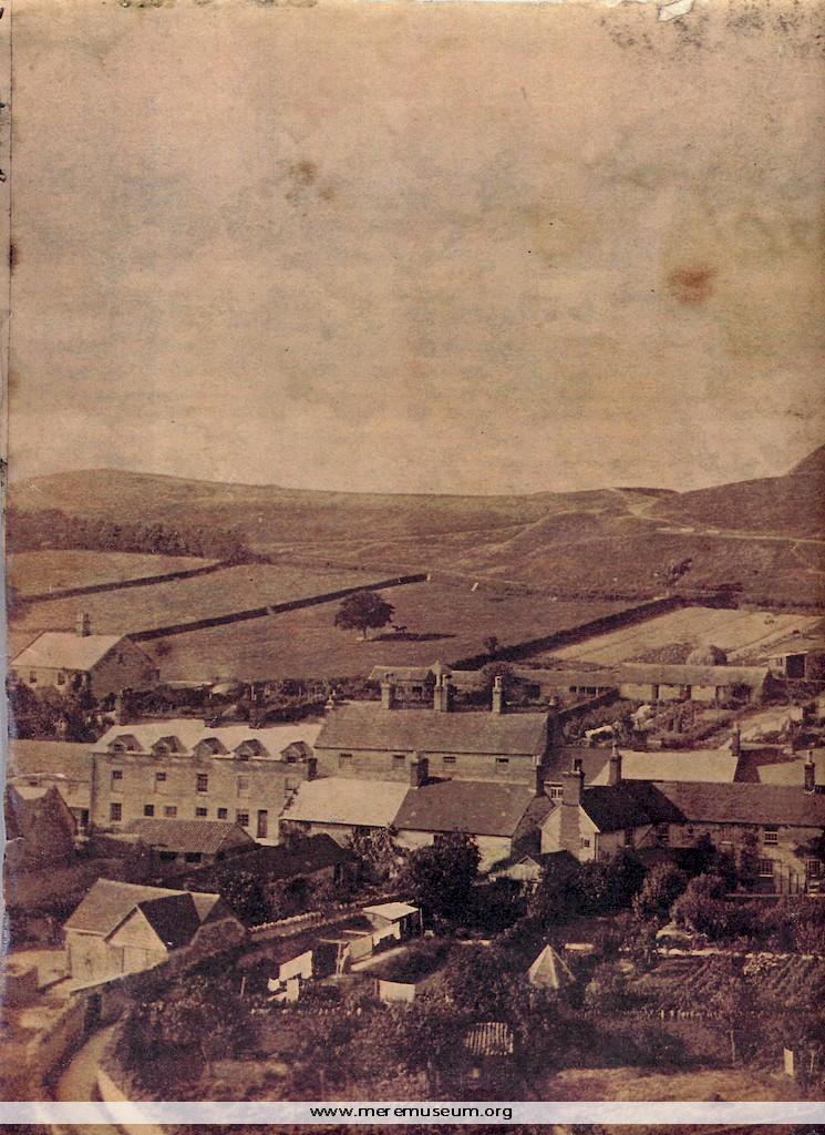
Brief description: large copy of a sepia photograph taken from Castle Hill showing the old barn, possibly a Tithe Barn, on Castle St. Mere, just after demolition, 1890 Classifications: environment / buildings / agriculture Identifications: photograph Place: Measurements: height 24.6 cm Additional images: Click the images to view larger image
MEREM:2009.18
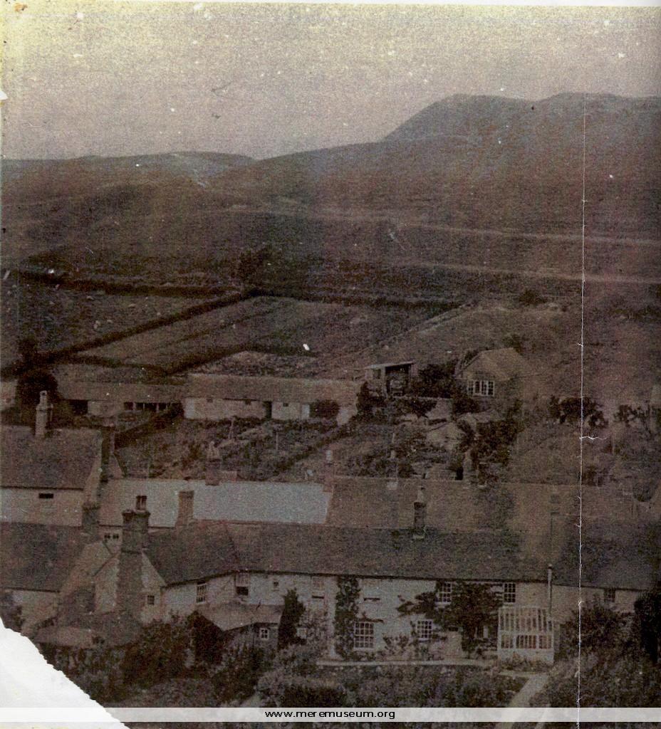
Brief description: large copy of a black and white photograph taken from Castle Hill showing the old barn, possibly a Tithe Barn, on Castle St. Mere, just before demolition, 1890 Classifications: environment / buildings / agriculture Identifications: photograph Place: Measurements: height 24.6 cm Additional images: Click the images to view larger image
MEREM:2009.17
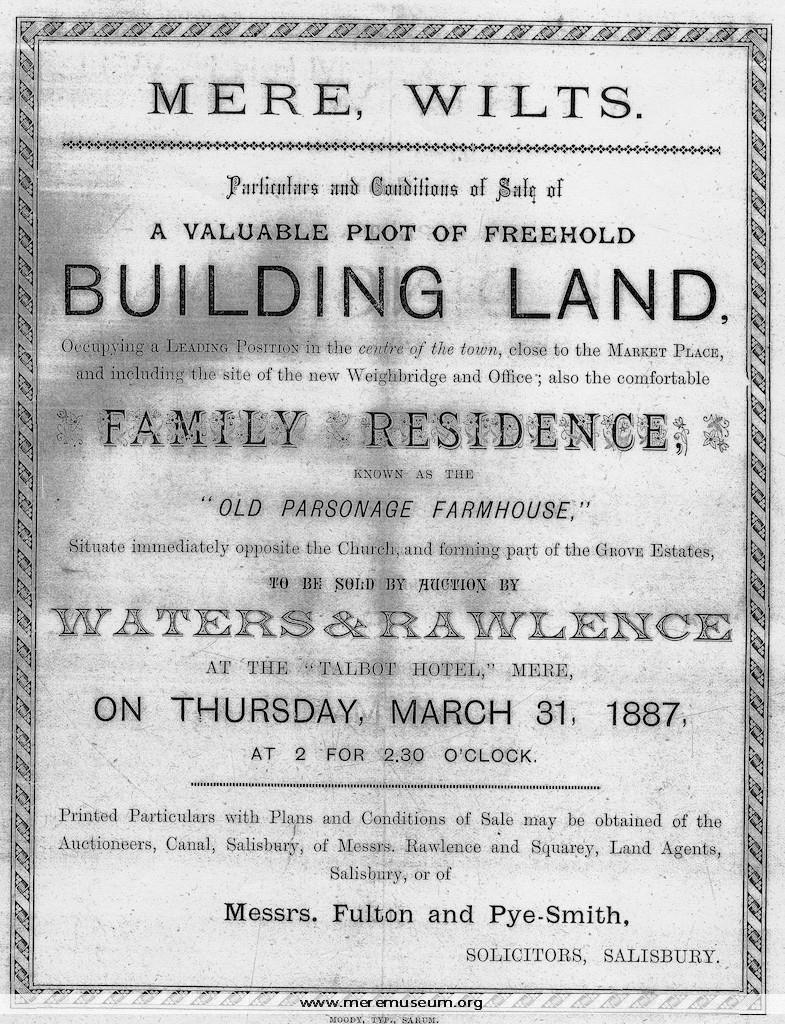
Brief description: black and white photocopies of pages comprising the particulars relating to the auction sale of building land in Mere with plan, including buildings and a barn,sometimes known as theTithe Barn, Mere, held at The Talbot Hotel, Mere on Thursday March 31st 1887 Classifications: events / environment Identifications: Auction Sale particulars / Place: Fisherton […]
MEREM:2009.16
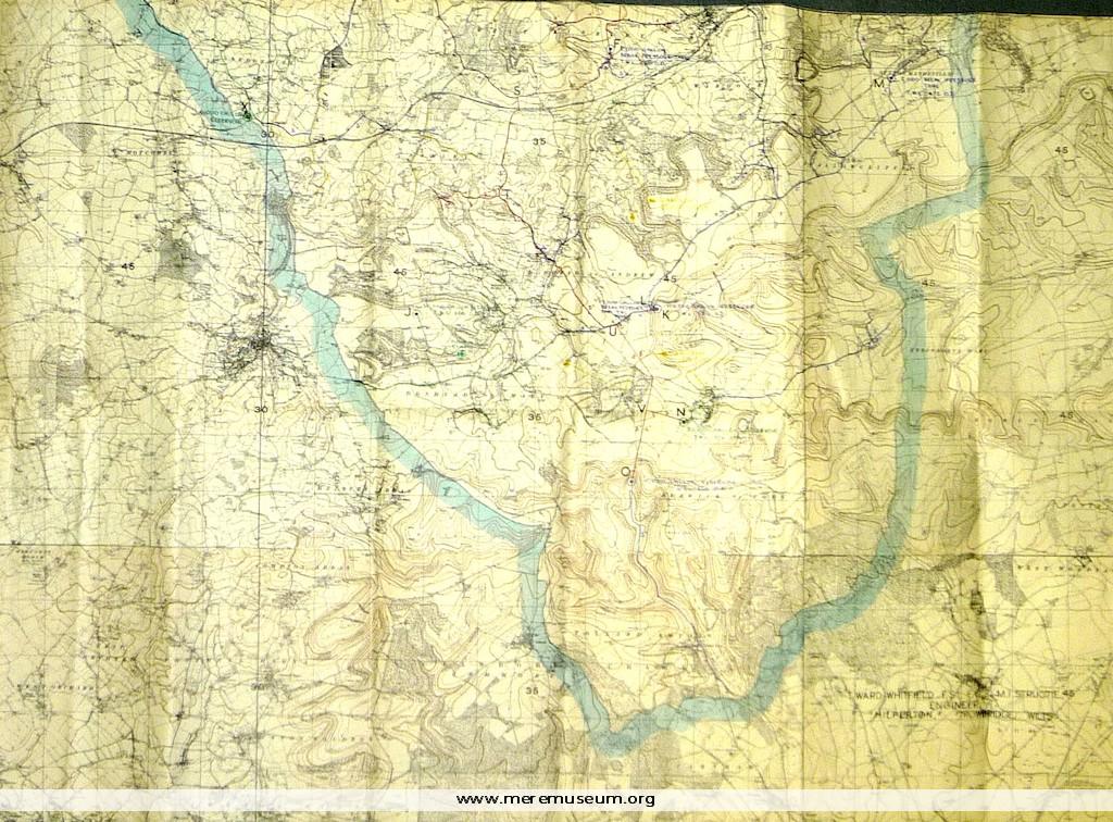
Brief description: part of a large Ordnance Survey Map (date unknown) showing Mere and Tisbury Rural District Council Comprehensive Water Supply Scheme, ?1946 Classifications: environment / maps / society / water Identifications: Ordnance Survey Map / Place: Measurements: height 119.6 cm Material: paper, ink, Completeness: complete Additional images: Click the images to view larger image
MEREM:2009.15
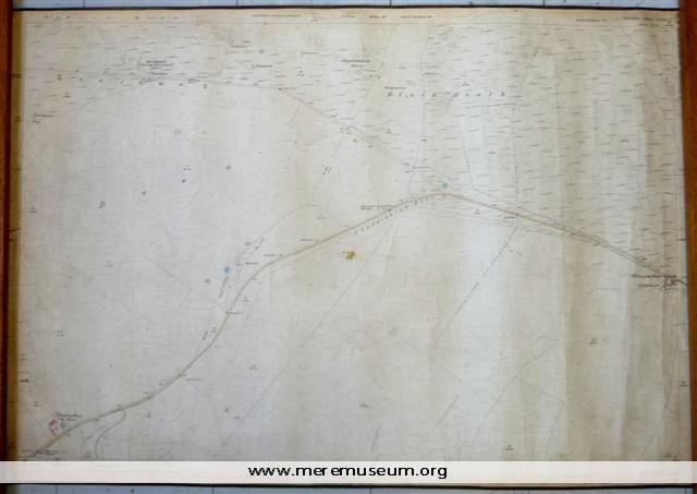
Brief description: a 25-inch Ordnance Survey Map of 1886-7, edged with brown tape, showing Pitching Piece Barn, Chaddenwick Hill and Willoughby Hedge Classifications: environment / maps Identifications: Ordnance Survey Map / Place: Measurements: height 70.3 cm Material: paper, ink, cotton tape, cotton Completeness: complete