
MEREM:2009.83-1

Brief description: 1″ ordnance survey map, no XI, showing Winchester, Southampton and Portsmouth, headed ‘Index to Tithe Survey’, dated 10th April 1810 ‘with later additions’. Classifications: environment / maps Identifications: map / ordnance survey map Place: the drawing room Measurements: height 67.3 cm Material: paper Completeness: complete
MEREM:2009.83-2
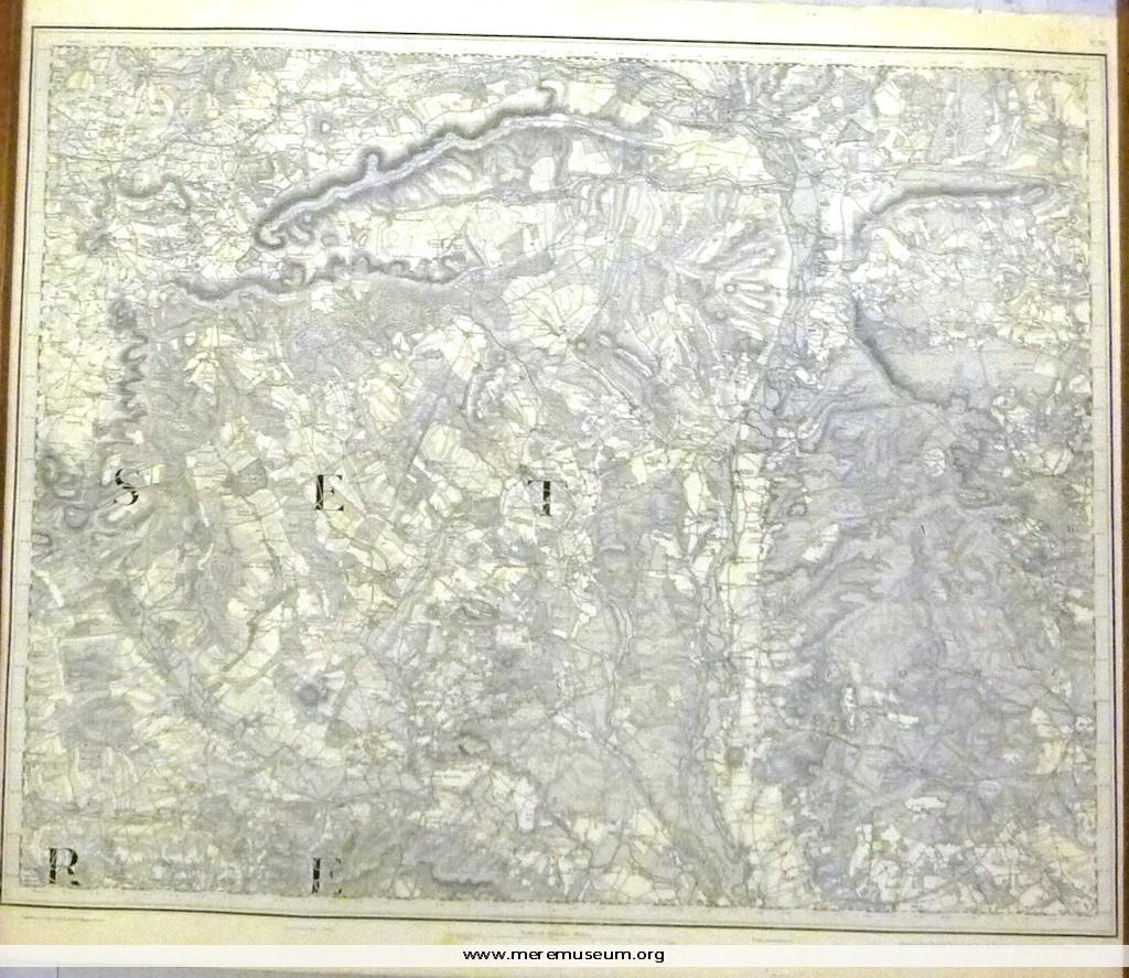
Brief description: 1″ ordnance survey map, no. XV, showing parts of Somerset and Dorset, dated 1st August 1811, with ‘railways inserted to July 1890’.. Classifications: environment / maps Identifications: map / ordnance survey map Place: The drawing room Measurements: height 69 cm Material: paper Completeness: complete
MEREM:2009.83-3
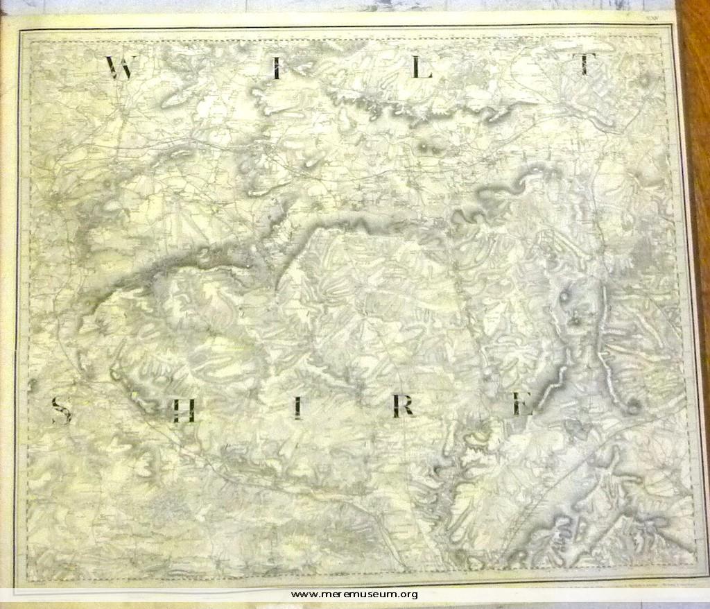
Brief description: 1″ ordnance survey map, no. XIV, showing Warminster, Melksham and Amesbury (Wiltshire), dated 14th August 1817 (‘Railways inserted to June 1882’.) Classifications: environment Identifications: map / ordnance survey map Place: the drawing room Measurements: height 65.9 cm Material: paper, ink Completeness: complete