
MEREM:2015.28
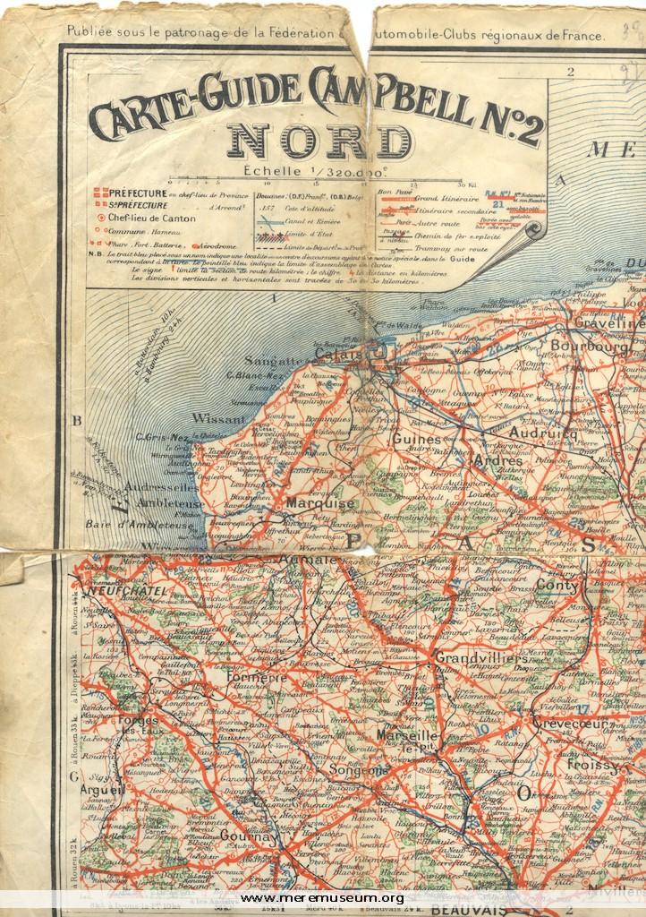
Brief description: large coloured map of France showing the position of the front lines in North-Eastern France in 1 March 1917, 13 March 1918 and 9 June 1918 Classifications: environment / maps / warfare and defence Identifications: map / map of france Place: Paris Measurements: height x width x depth 69.6 x 97.2 Material: paper […]
MEREM:1996.61
Brief description: postcard, ‘The great war – Estrees [Somme]’ showing entrance to village devastated, printed by Vise, Paris Nos 863, owned by Mrs M Whitfield, Mere, Wiltshire Classifications: arms Identifications: photograph / postcard / postcard Place: Paris Country: France Measurements: height 9cm