
MEREM:2009.114
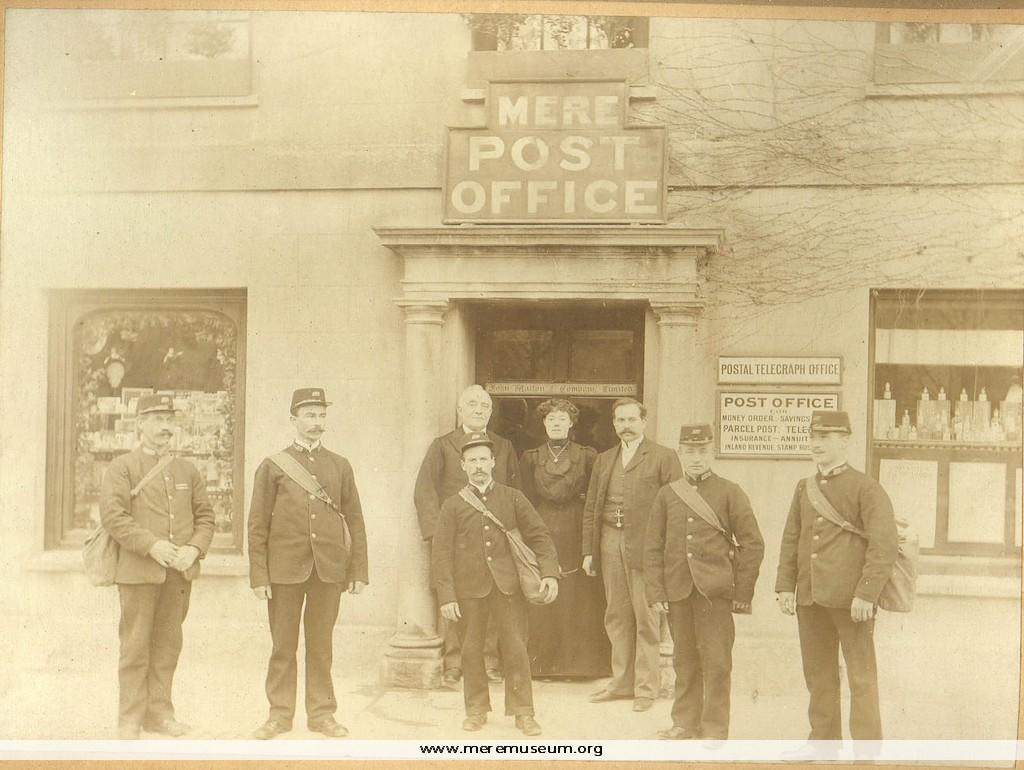
Brief description: mounted and framed sepia photograph of the staff at Mere Post Office (names on reverse), late 19th century. Classifications: society / communication / person Identifications: photograph Place: Measurements: height 26.8cm Material: wood, card, gummed paper, photographic paper, ink Completeness: complete Additional images: Click the images to view larger image
MEREM:2009.116
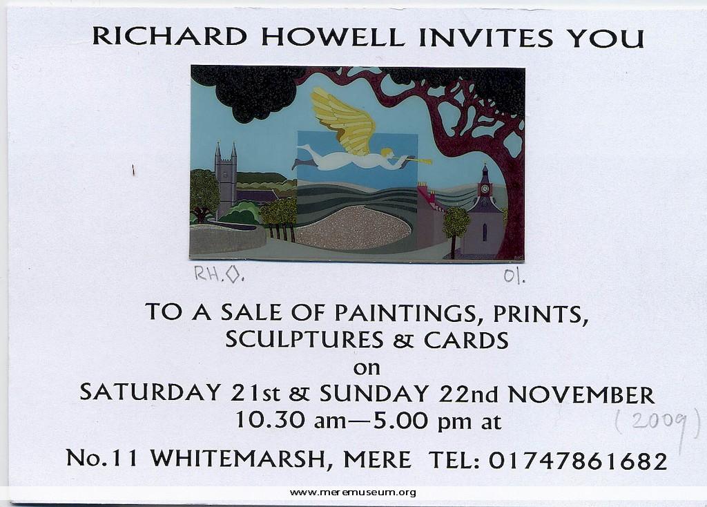
Brief description: an invitation printed on white card with a coloured reproduction of painting on the front and a signed, typed explanation on the reverse, to a sale of paintings, prints etc. produced by Richard Howell of Mere, 21st Novermber 2009 Classifications: fine art / paintings / person Identifications: invitation / Place: Measurements: height 10.5 […]
MEREM:2009.117
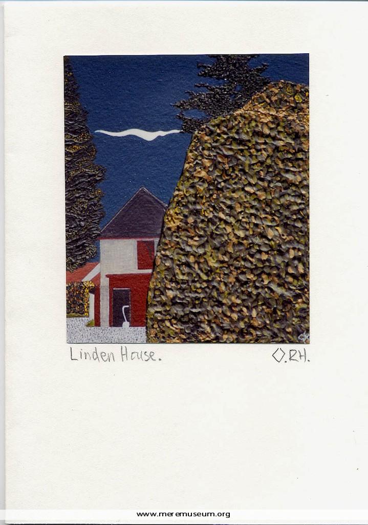
Brief description: a blank, white greetings card with a photograph of a painting, signed and titled in pencil, by Richard Howell of Mere, of Linden House, Mere, 2009 Classifications: fine art / paintings / environment / buildings Identifications: blank greetings card / Place: Measurements: height 14.9 cm Material: card, paper, ink, pencil Completeness: complete
MEREM:2009.107.1
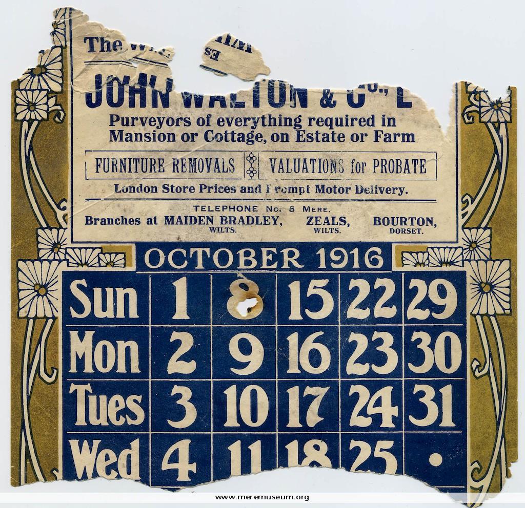
Brief description: fragment of a calendar for October 1916 produced by John Walton and Co. Ltd, Mere Classifications: trade / shopkeeper / technology / time Identifications: calendar / Place: Measurements: height 12.5 cm Material: paper, ink Completeness: fragment only
MEREM:2009.107.5
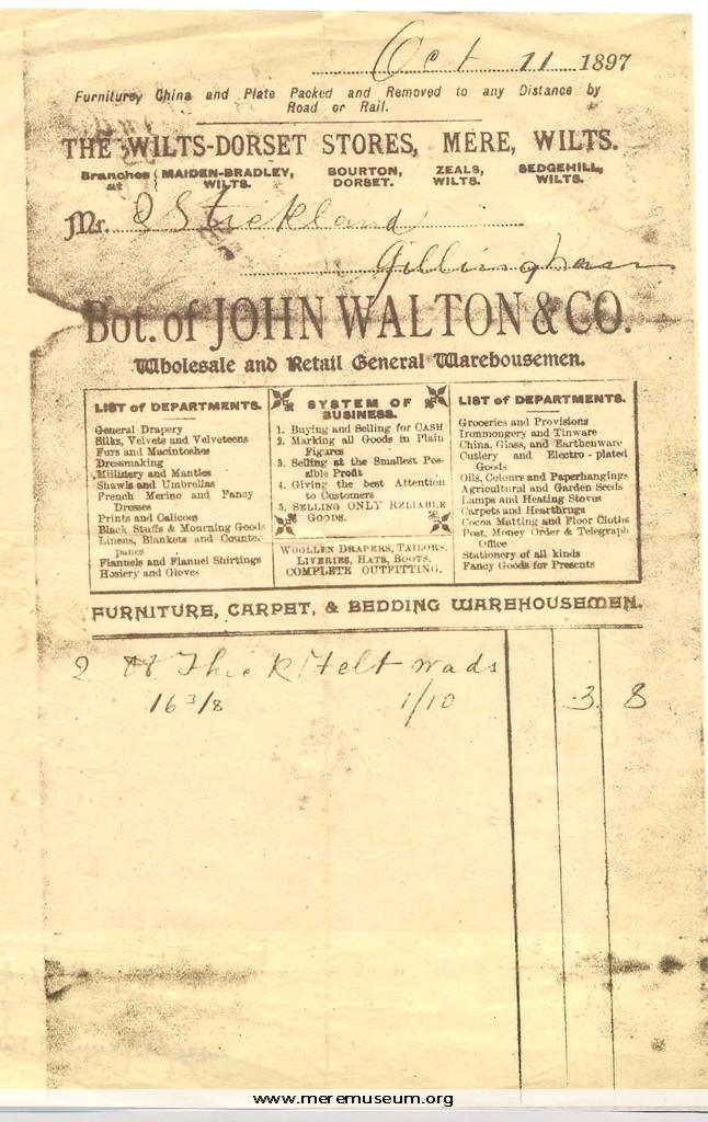
Brief description: copy of a bond drawn up between John Walton and Charles Card of Mere relating to a loan of £2000 by Card to Walton, dater 2.8.1869; July 2009 Classifications: trade / shopkeeper / person Identifications: bond / Place: Measurements: height 21 cm Material: paper, ink Completeness: complete
MEREM:2009.83-3
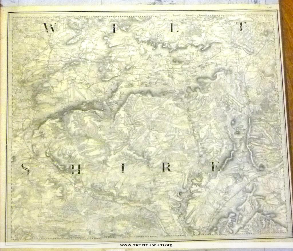
Brief description: 1″ ordnance survey map, no. XIV, showing Warminster, Melksham and Amesbury (Wiltshire), dated 14th August 1817 (‘Railways inserted to June 1882’.) Classifications: environment Identifications: map / ordnance survey map Place: the drawing room Measurements: height 65.9 cm Material: paper, ink Completeness: complete
MEREM:2009.84-1
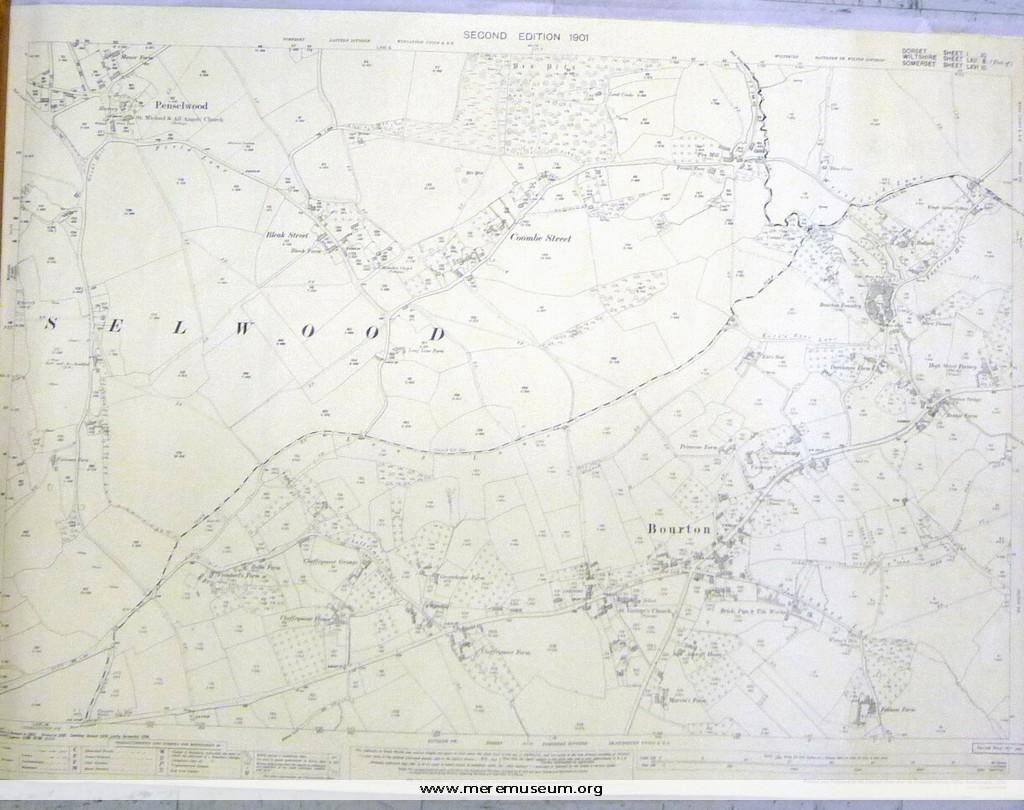
Brief description: ordnance survey map, one of four of the Mere district, scale 1/2500 (25.344 inches to the mile), showing Bourton and Penselwood, second edition,1901 Classifications: environment / maps Identifications: map / ordnance survey map Place: Ordnance Survey Office Hampshire Measurements: height 73.8 cm Material: paper, ink Completeness: complete
MEREM:2009.84-2
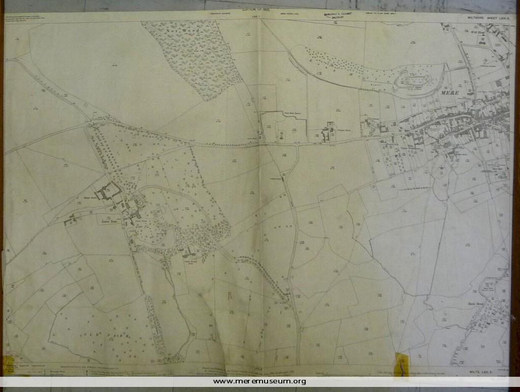
Brief description: ordnance survey map, one of four of the Mere district, scale 1/2500 (25.344 inches to the mile), showing the western side of Mere, 1925 Classifications: environment / maps Identifications: map / ordnance survey map Place: Ordnance Survey Office Hampshire Measurements: height 68.8 cm Material: paper, ink Completeness: trimmed at lower edge
MEREM:2009.84-3
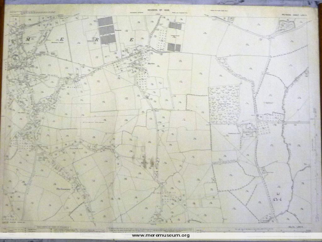
Brief description: ordnance survey map, one of four of the Mere district, scale 1/2500 (25.344 inches to the mile), showing the eastern side of Mere, 1936 Classifications: environment / maps Identifications: map / ordnance survey map Place: Ordnance Survey Office Hampshire Measurements: height 73.8 cm Material: paper, ink Completeness: complete
MEREM:2009.84-4
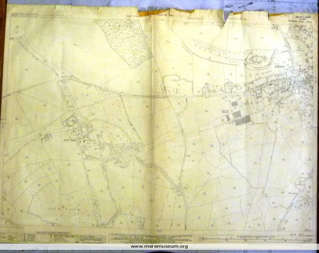
Brief description: ordnance survey map, one of four of the Mere district, scale 1/2500 (25.344 inches to the mile), showing the western side of Mere, including Lower Zeals, 1942 (revised 1946) Classifications: environment / maps Identifications: map / ordnance survey map Place: Ordnance Survey Office Hampshire Measurements: height 73.3cm Material: paper, ink Completeness: complete