
MEREM:2003.40
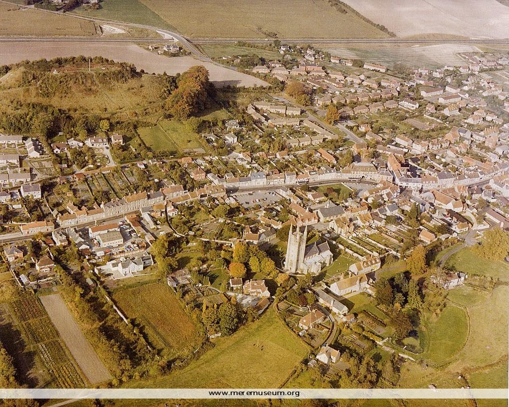
Brief description: photograph [colour], oblique aerial view of Mere, October 1978, issued by English Heritage Classifications: environment Identifications: photograph Measurements: height 30cm Material: paper
MEREM:2003.36
Brief description: black and white, aerial photograph of Mere issued by English Heritage and National Monuments Record taken April 1964 Classifications: environment Identifications: photograph Measurements: height 28cm Material: paper
MEREM:2003.37
Brief description: black and white, aerial photograph of Mere issued by English Heritage and National Monuments Record taken April 1976 Classifications: environment Identifications: photograph Measurements: height 28cm Material: paper
MEREM:2003.3
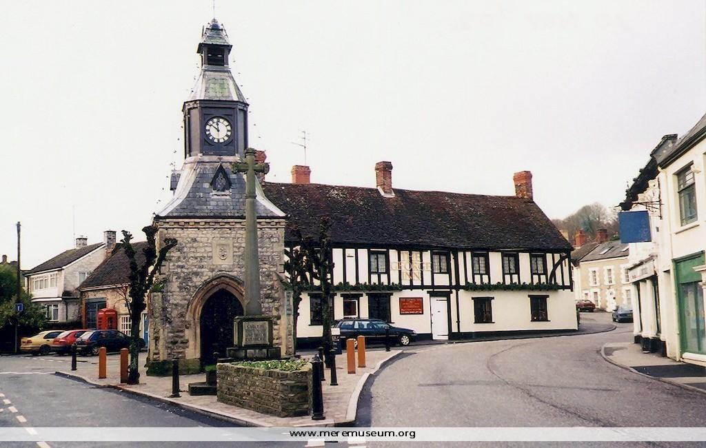
Brief description: photograph [colour] by Dr Colin Anderson of the reconstruction of the Clocktower Island, The Square, also showing The Old Talbot Hotel, renamed The George, Mere, October 2002 Classifications: environment / buildings Identifications: photograph Measurements: height 10cm Material: paper
MEREM:2003.4
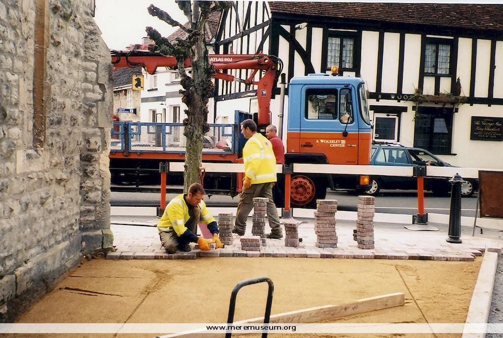
Brief description: photograph [colour] by Dr Colin Anderson of the reconstruction of the Clocktower Island, The Square also showing The Old Talbot Hotel, sign still in situ, renamed The George, Mere, October 2002 Classifications: environment / buildings Identifications: photograph Measurements: height 10cm Material: paper
MEREM:2003.5
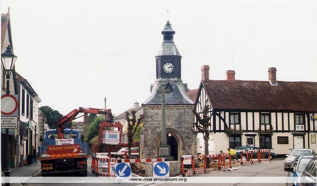
Brief description: photograph [colour] by Dr Colin Anderson of the reconstruction of the Clocktower Island, The Square, showing The Old Talbot Hotel,sign still in situ, renamed The George, Mere, October 2002 Classifications: environment / buildings Identifications: photograph Measurements: height 10cm Material: paper
MEREM:2003.16
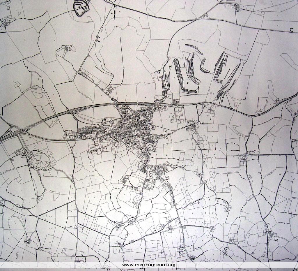
Brief description: outline map of Mere and District, drawn by Mere Parish Boundary, August 2002 Classifications: environment / maps Identifications: map Measurements: height 84.5cm Material: paper
MEREM:2003.17
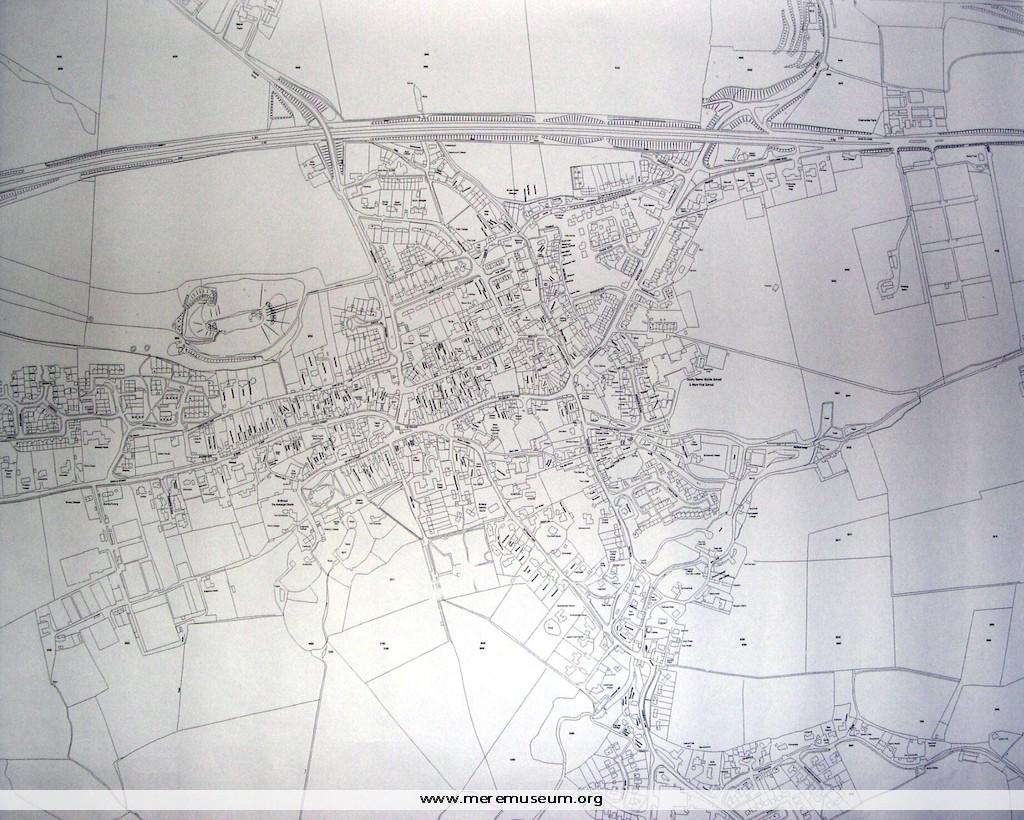
Brief description: detailed outline map of Mere and District, drawn by Mere Parish Boundary, August 2002 Classifications: environment / maps Identifications: map Measurements: height 84.5cm Material: paper
MEREM:2003.18
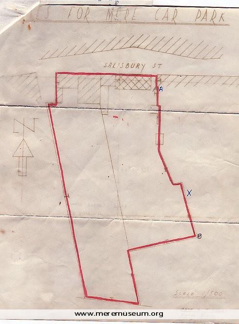
Brief description: copy, colour of map showing area designated to become Mere car park, produced by Mere Tisbury District Council Classifications: environment / maps Identifications: map Measurements: height 29.5cm Material: paper
MEREM:2002.159
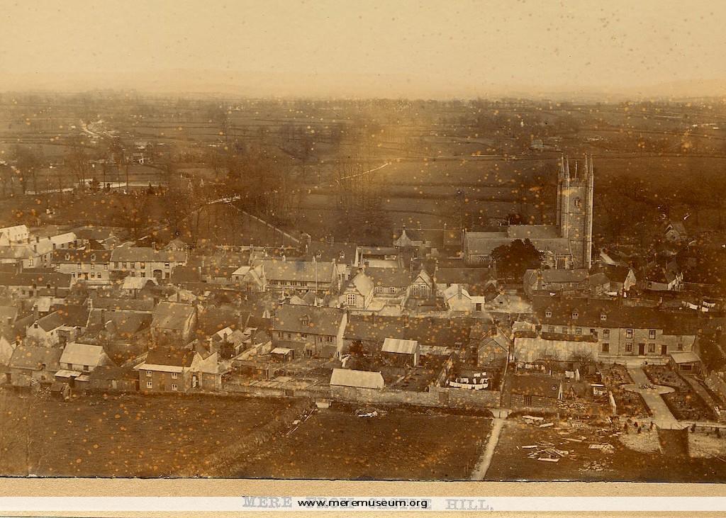
Brief description: sepia photograph of Mere, mounted on card, taken from Castle Hill, ? early 20th Century. Found by donor in skip, in Essex! Classifications: environment Identifications: photograph Measurements: height 10.5cm Material: paper