
MEREM:2009.87
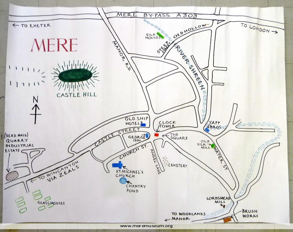
Brief description: coloured, hand drawn map of central Mere C.1990 Classifications: environment Identifications: map / Place: Measurements: height 84cm Material: paper and ink Completeness: complete
MEREM:2009.83-2
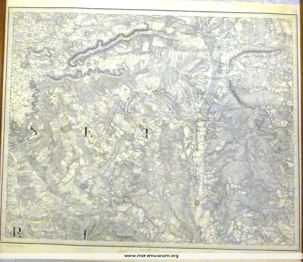
Brief description: 1″ ordnance survey map, no. XV, showing parts of Somerset and Dorset, dated 1st August 1811, with ‘railways inserted to July 1890’.. Classifications: environment / maps Identifications: map / ordnance survey map Place: The drawing room Measurements: height 69 cm Material: paper Completeness: complete
MEREM:2009.83-3
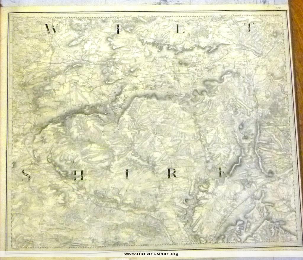
Brief description: 1″ ordnance survey map, no. XIV, showing Warminster, Melksham and Amesbury (Wiltshire), dated 14th August 1817 (‘Railways inserted to June 1882’.) Classifications: environment Identifications: map / ordnance survey map Place: the drawing room Measurements: height 65.9 cm Material: paper, ink Completeness: complete
MEREM:2009.84-1
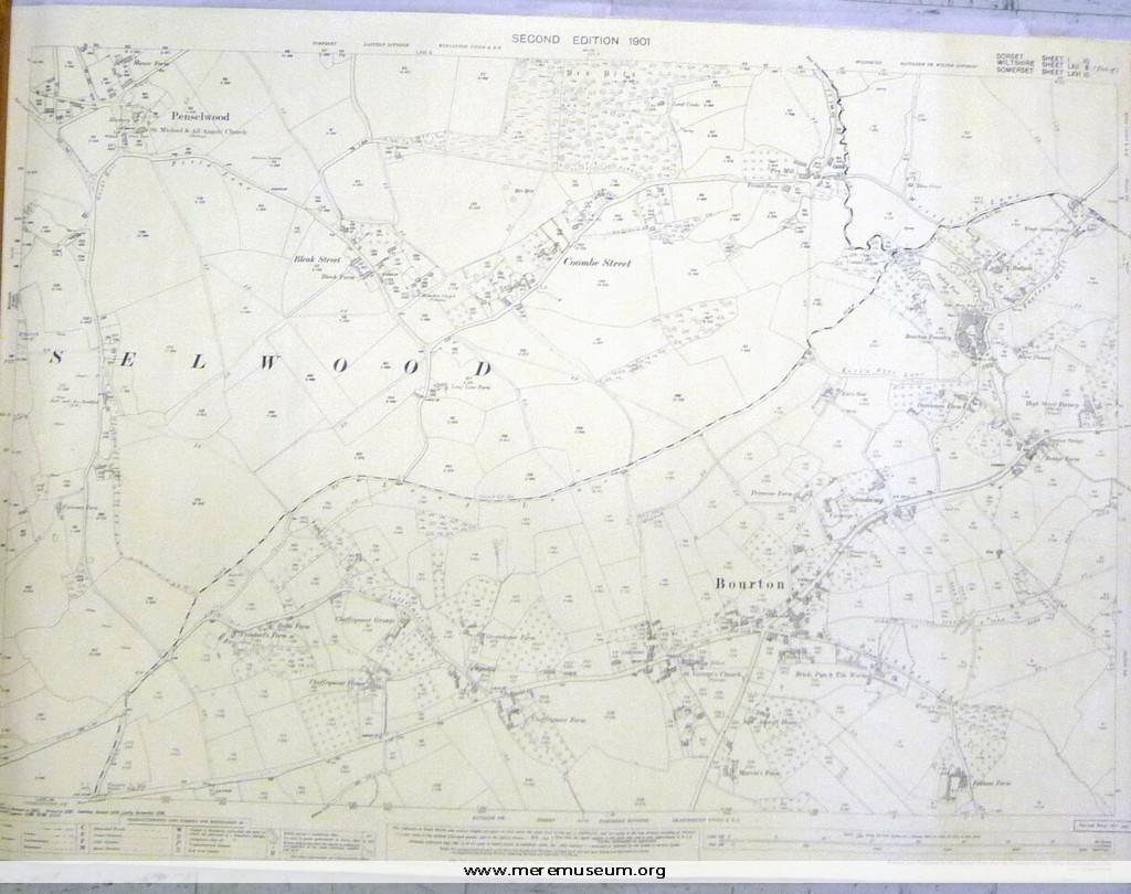
Brief description: ordnance survey map, one of four of the Mere district, scale 1/2500 (25.344 inches to the mile), showing Bourton and Penselwood, second edition,1901 Classifications: environment / maps Identifications: map / ordnance survey map Place: Ordnance Survey Office Hampshire Measurements: height 73.8 cm Material: paper, ink Completeness: complete
MEREM:2009.84-2
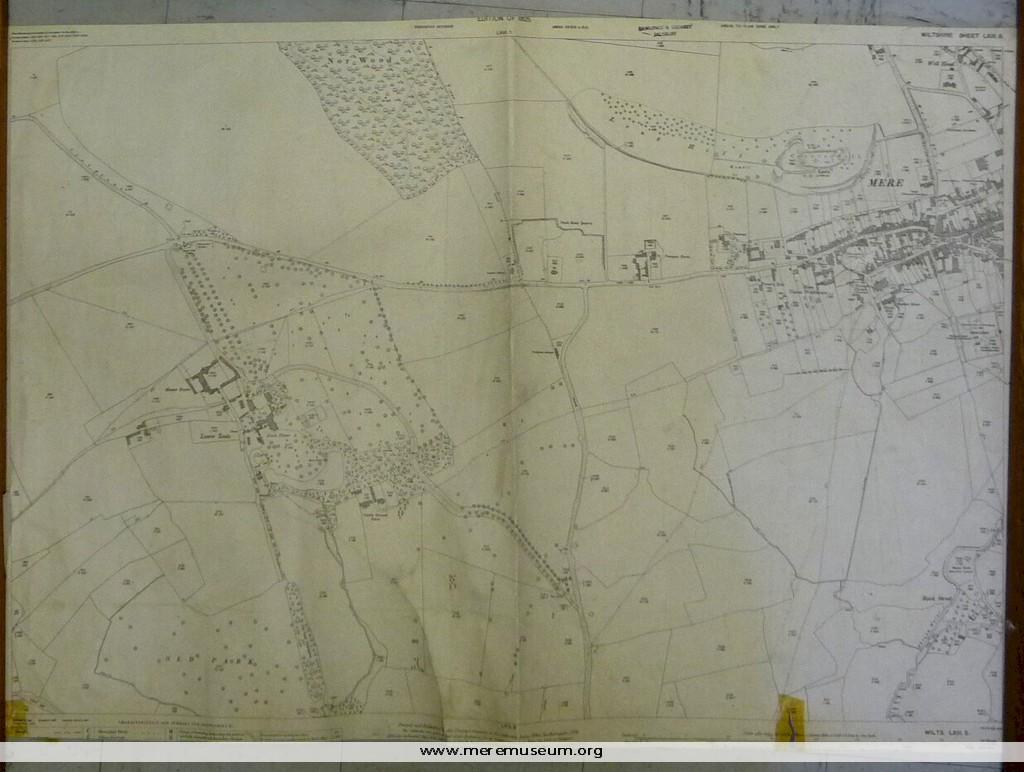
Brief description: ordnance survey map, one of four of the Mere district, scale 1/2500 (25.344 inches to the mile), showing the western side of Mere, 1925 Classifications: environment / maps Identifications: map / ordnance survey map Place: Ordnance Survey Office Hampshire Measurements: height 68.8 cm Material: paper, ink Completeness: trimmed at lower edge
MEREM:2009.84-3
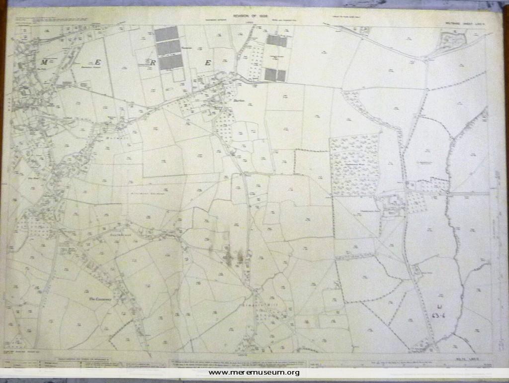
Brief description: ordnance survey map, one of four of the Mere district, scale 1/2500 (25.344 inches to the mile), showing the eastern side of Mere, 1936 Classifications: environment / maps Identifications: map / ordnance survey map Place: Ordnance Survey Office Hampshire Measurements: height 73.8 cm Material: paper, ink Completeness: complete
MEREM:2009.84-4
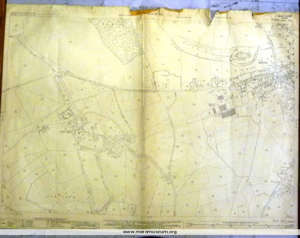
Brief description: ordnance survey map, one of four of the Mere district, scale 1/2500 (25.344 inches to the mile), showing the western side of Mere, including Lower Zeals, 1942 (revised 1946) Classifications: environment / maps Identifications: map / ordnance survey map Place: Ordnance Survey Office Hampshire Measurements: height 73.3cm Material: paper, ink Completeness: complete
MEREM:2009.85
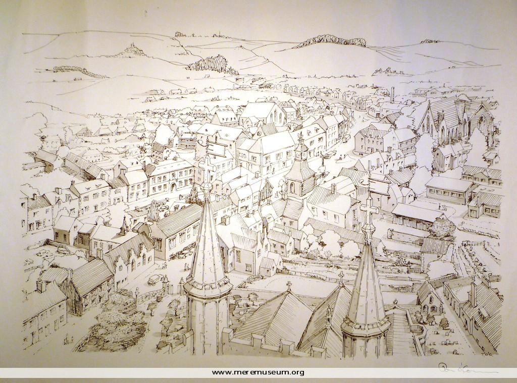
Brief description: pen and ink drawing on paper of Mere looking North by Tom O’Connor C.1970 Classifications: environment / buildings Identifications: drawing / Place: Measurements: height 36.9cm Material: paper / ink Completeness: complete
MEREM:2009.82
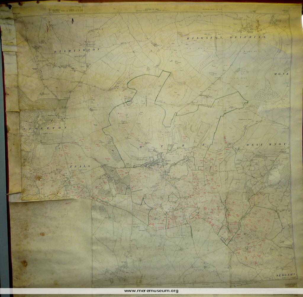
Brief description: 1926 ordnance survey map of Mere and surrounding villages, printed onto thick paper/linen (heliozincographed), with red edging tapes and wooden bars at top and bottom for suspension of the map, annotated in red ink by Miss Joyce Rutter to record field names in Mere, c.1952. Classifications: environment / maps Identifications: map / ordnance […]
MEREM:2009.83-1

Brief description: 1″ ordnance survey map, no XI, showing Winchester, Southampton and Portsmouth, headed ‘Index to Tithe Survey’, dated 10th April 1810 ‘with later additions’. Classifications: environment / maps Identifications: map / ordnance survey map Place: the drawing room Measurements: height 67.3 cm Material: paper Completeness: complete