
Brief description:
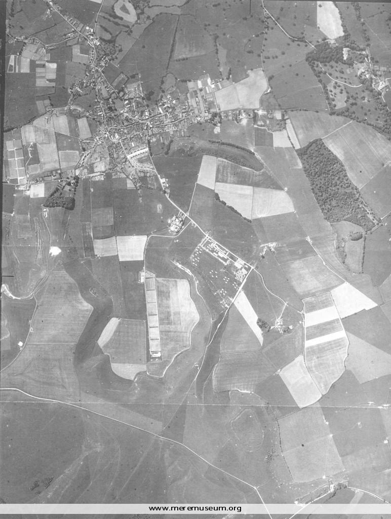
black and white aerial map of Mere, Wiltshire, 10 June 1950
black and white aerial map of Mere, Wiltshire, 10 June 1950
Classifications:
environment / buildings
environment / buildings
Identifications:
photograph / aerial photograph
photograph / aerial photograph
Measurements:
height x width 38 x 28.5
height x width 38 x 28.5
Additional images:
Click the images to view larger image
