
MEREM:2009.86.2
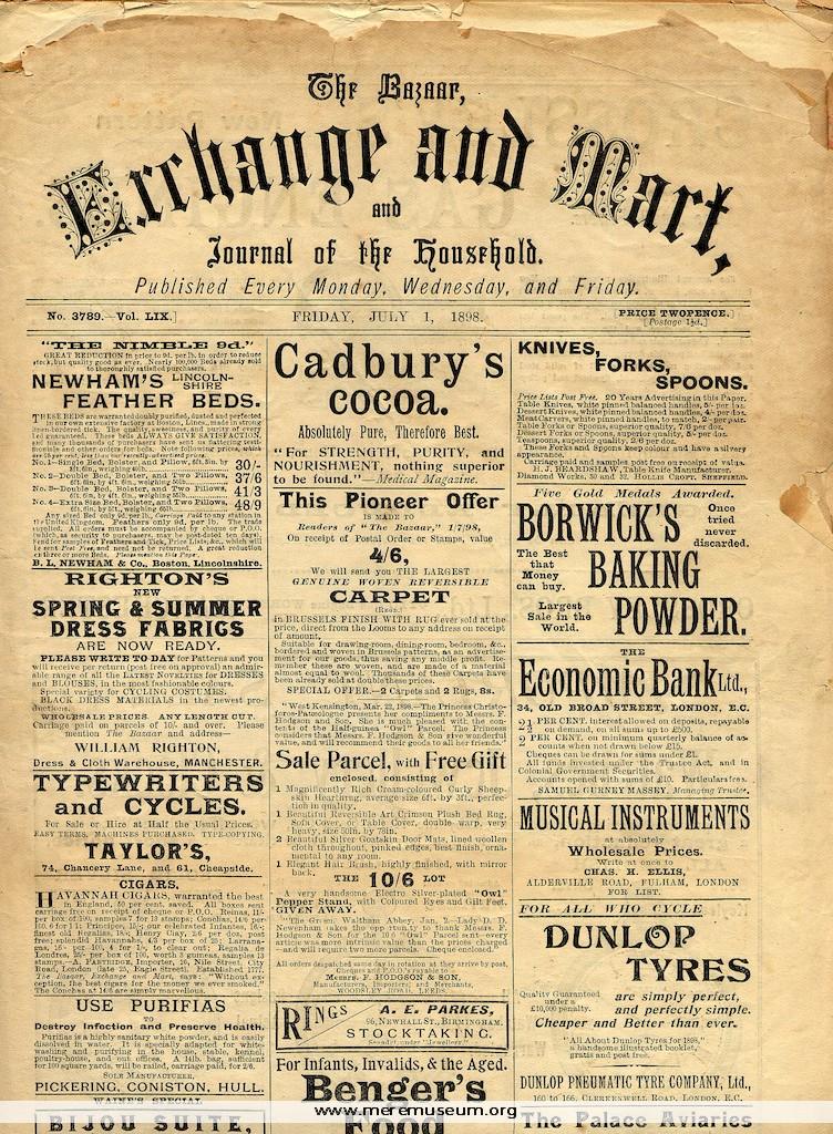
Brief description: The Bazaar, Exchange and Mart, and Journal of the Household, a trade magazine with advertisments, for July 1st 1898 Classifications: society / communication Identifications: newspaper / trade journal Place: London Measurements: height 33cm Material: paper / ink Completeness: complete
MEREM:2009.86.1
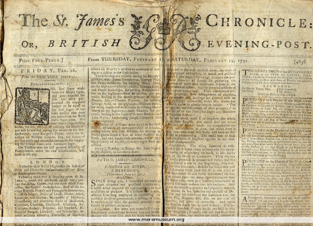
Brief description: The St James’s Chronicle, London newspaper for Thursday, February 17th, to Saturday, February 19th 1791 Classifications: society / communication Identifications: newspaper / Place: London Measurements: height 46.5cm Material: paper / ink Completeness: incomplete, possibly outter pages only
MEREM:2009.85
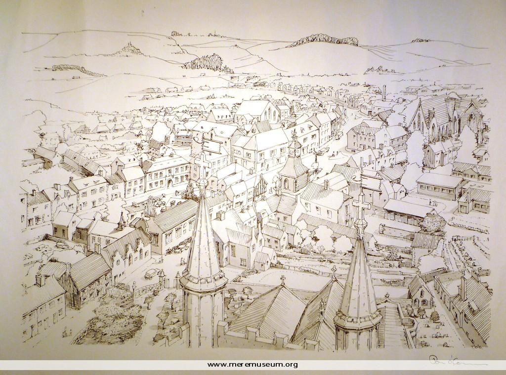
Brief description: pen and ink drawing on paper of Mere looking North by Tom O’Connor C.1970 Classifications: environment / buildings Identifications: drawing / Place: Measurements: height 36.9cm Material: paper / ink Completeness: complete
MEREM:2009.84-4
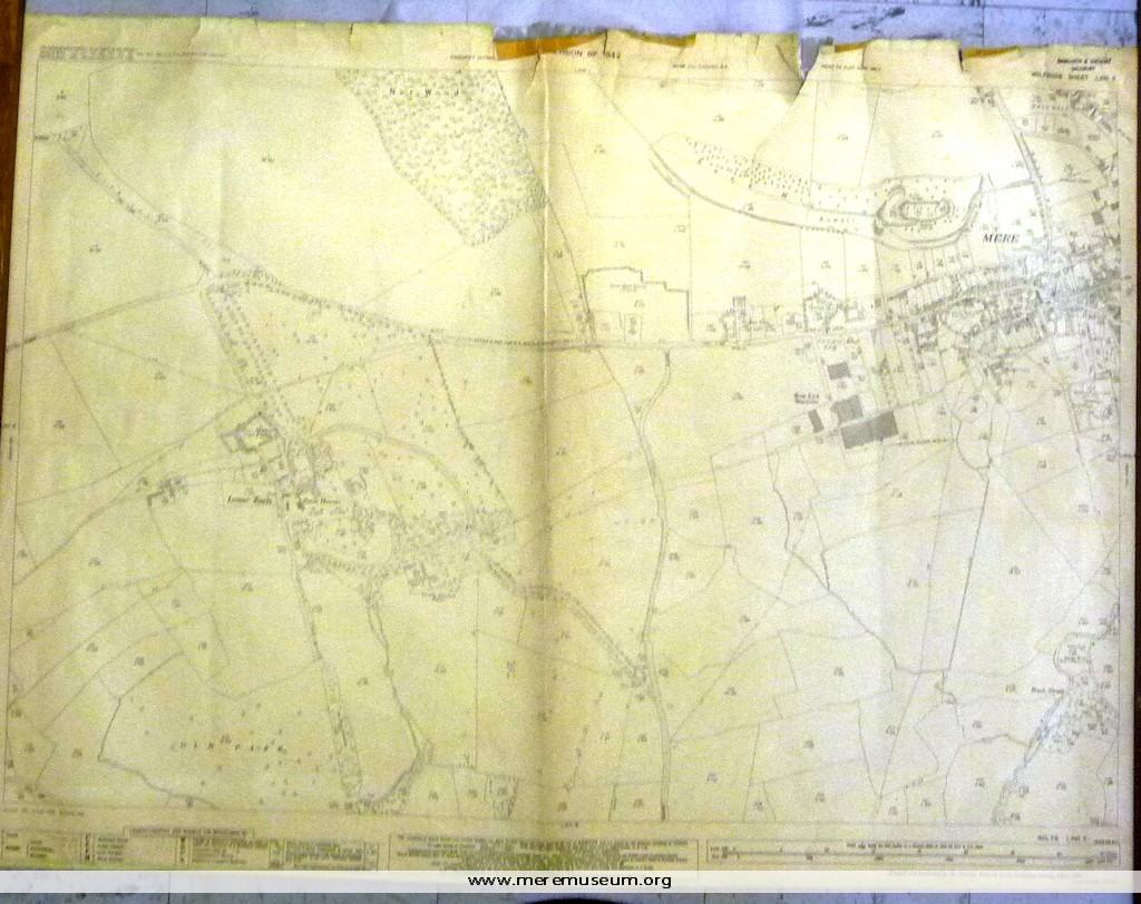
Brief description: ordnance survey map, one of four of the Mere district, scale 1/2500 (25.344 inches to the mile), showing the western side of Mere, including Lower Zeals, 1942 (revised 1946) Classifications: environment / maps Identifications: map / ordnance survey map Place: Ordnance Survey Office Hampshire Measurements: height 73.3cm Material: paper, ink Completeness: complete
MEREM:2009.84-3
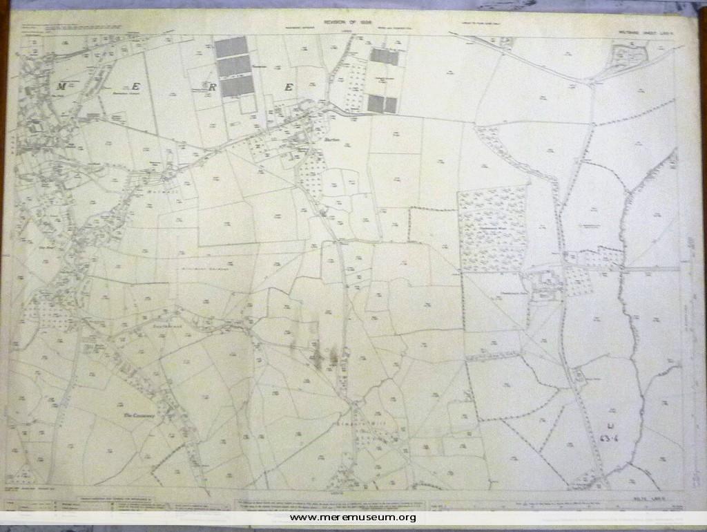
Brief description: ordnance survey map, one of four of the Mere district, scale 1/2500 (25.344 inches to the mile), showing the eastern side of Mere, 1936 Classifications: environment / maps Identifications: map / ordnance survey map Place: Ordnance Survey Office Hampshire Measurements: height 73.8 cm Material: paper, ink Completeness: complete
MEREM:2009.84-2
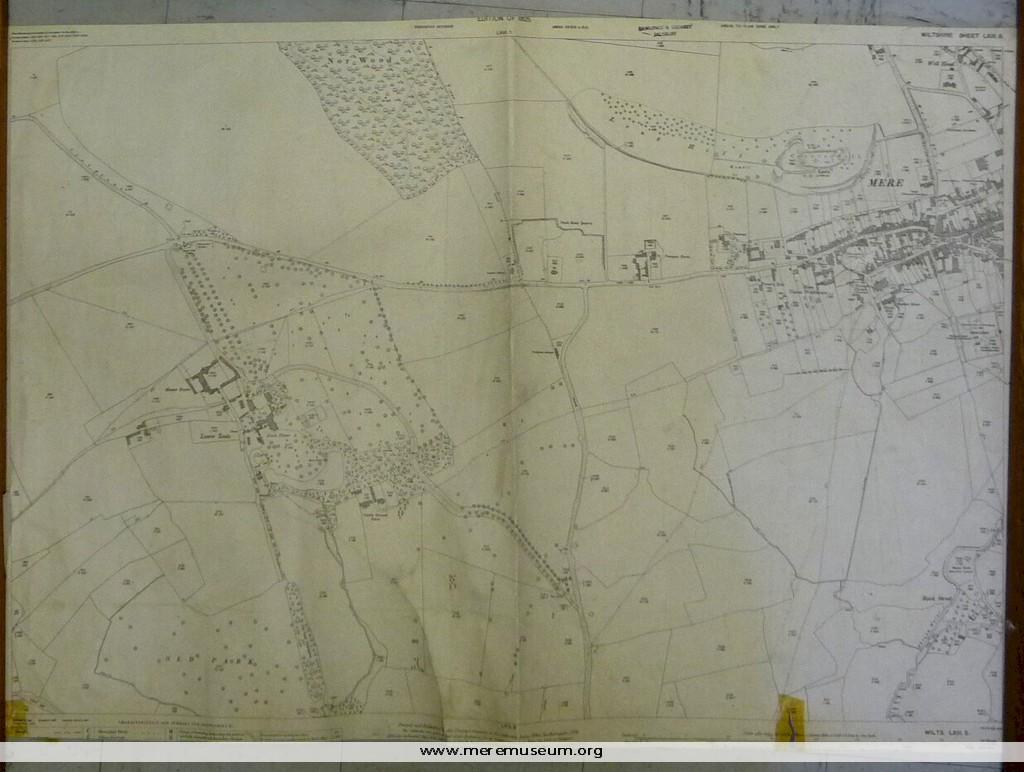
Brief description: ordnance survey map, one of four of the Mere district, scale 1/2500 (25.344 inches to the mile), showing the western side of Mere, 1925 Classifications: environment / maps Identifications: map / ordnance survey map Place: Ordnance Survey Office Hampshire Measurements: height 68.8 cm Material: paper, ink Completeness: trimmed at lower edge
MEREM:2009.84-1
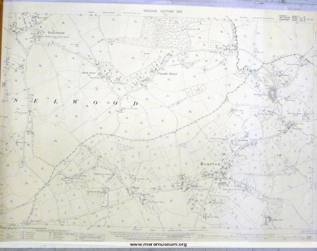
Brief description: ordnance survey map, one of four of the Mere district, scale 1/2500 (25.344 inches to the mile), showing Bourton and Penselwood, second edition,1901 Classifications: environment / maps Identifications: map / ordnance survey map Place: Ordnance Survey Office Hampshire Measurements: height 73.8 cm Material: paper, ink Completeness: complete
MEREM:2009.83-3
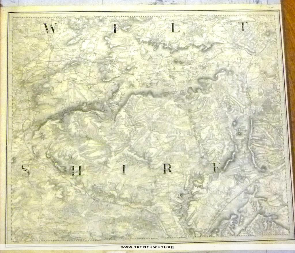
Brief description: 1″ ordnance survey map, no. XIV, showing Warminster, Melksham and Amesbury (Wiltshire), dated 14th August 1817 (‘Railways inserted to June 1882’.) Classifications: environment Identifications: map / ordnance survey map Place: the drawing room Measurements: height 65.9 cm Material: paper, ink Completeness: complete
MEREM:2009.83-2
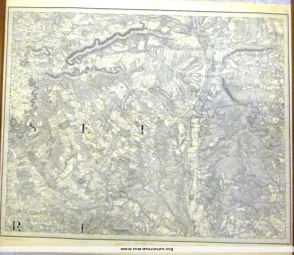
Brief description: 1″ ordnance survey map, no. XV, showing parts of Somerset and Dorset, dated 1st August 1811, with ‘railways inserted to July 1890’.. Classifications: environment / maps Identifications: map / ordnance survey map Place: The drawing room Measurements: height 69 cm Material: paper Completeness: complete
MEREM:2009.83-1

Brief description: 1″ ordnance survey map, no XI, showing Winchester, Southampton and Portsmouth, headed ‘Index to Tithe Survey’, dated 10th April 1810 ‘with later additions’. Classifications: environment / maps Identifications: map / ordnance survey map Place: the drawing room Measurements: height 67.3 cm Material: paper Completeness: complete