
Brief description:
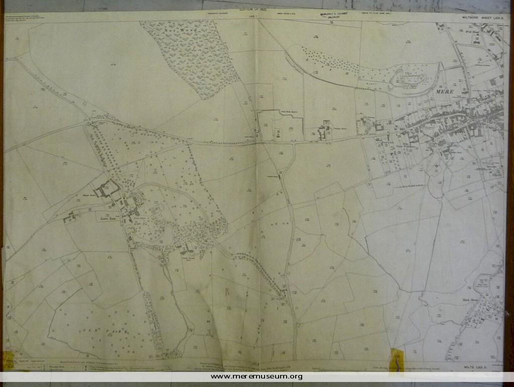
ordnance survey map, one of four of the Mere district, scale 1/2500 (25.344 inches to the mile), showing the western side of Mere, 1925
ordnance survey map, one of four of the Mere district, scale 1/2500 (25.344 inches to the mile), showing the western side of Mere, 1925
Classifications:
environment / maps
environment / maps
Identifications:
map / ordnance survey map
map / ordnance survey map
Place:
Ordnance Survey Office
Hampshire
Ordnance Survey Office
Hampshire
Measurements:
height 68.8 cm
height 68.8 cm
Material:
paper, ink
paper, ink
Completeness: trimmed at lower edge
