
Brief description:
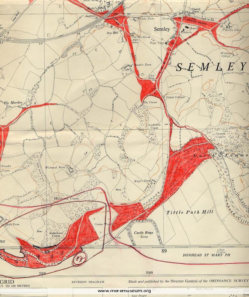
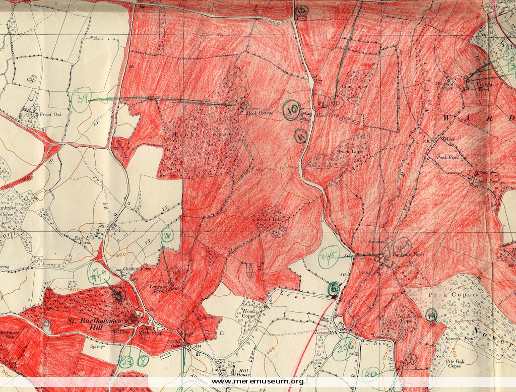
two 6 inch Ordnance Survey maps: of Semley and of the Wardour Estate, marked in red crayon, with a typed list of rated properties on the Wardour Estate, datable between 1962 (map) and1972? (decimalisation).
two 6 inch Ordnance Survey maps: of Semley and of the Wardour Estate, marked in red crayon, with a typed list of rated properties on the Wardour Estate, datable between 1962 (map) and1972? (decimalisation).
Classifications:
environment / maps
environment / maps
Identifications:
Estate Maps /
Estate Maps /
Place:
Measurements:
height 67 cm
height 67 cm
Material:
paper, ink
paper, ink
Completeness: probably complete
Additional images:
Click the images to view larger image
