
Brief description:
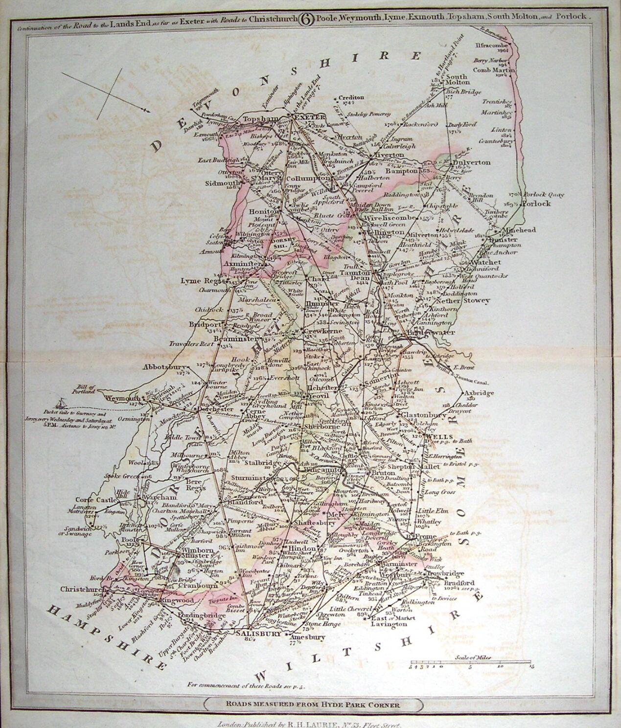
coloured printed map of roads in Dorset and its borders, including Wiltshire [+ Mere], formerly two pages in a book entitled ‘New Travellers’ Companion’, marked with the distances between towns and villages and Hyde Park Corner, London, number 6 in a series, published by R. H. Laurie, Fleet Street, 1806
coloured printed map of roads in Dorset and its borders, including Wiltshire [+ Mere], formerly two pages in a book entitled ‘New Travellers’ Companion’, marked with the distances between towns and villages and Hyde Park Corner, London, number 6 in a series, published by R. H. Laurie, Fleet Street, 1806
Classifications:
environment / maps / transport / road
environment / maps / transport / road
Identifications:
map / road map
map / road map
Measurements:
height 32 cm
height 32 cm
Material:
paper, ink, paste
paper, ink, paste
Completeness: page 6 of several
